Elected Officials
Courts
Departments
Initiatives
Open Government
About
Login / Register
Home
/
Property & Tax Records
/
Property Records
/
Property & Tax Search
/
Parcel Profile
/
Print View
Search for Another Parcel
Parcel Profile
Historical Card
Sketches
Photos
Tax Map
Taxes
Print View
Print This Page
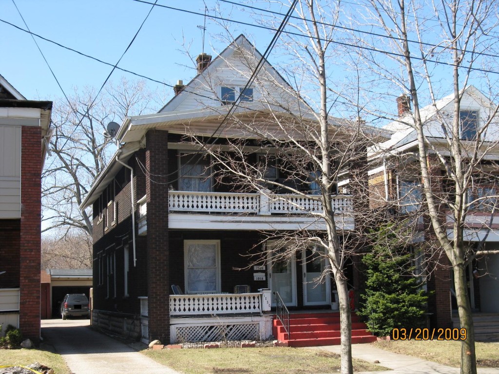
Address: 1018 20 CRANBERRY ST
Parcel: 16030058010200
Parcel Profile
Address
1018 | 20 | CRANBERRY | ST
Street Status
PAVED
School District
CITY OF ERIE SCHOOL
Acreage
0.0939
Classification
R
Land Use Code
TWO FAMILY
Legal Description
1018 20 CRANBERRY ST 31X132
Square Feet
2395
Topo
LEVEL
Utility
ALL PUBLIC
Zoning
Please contact your municipal zoning officer
Deed Book
2010
Deed Page
005764
2026 Tax Values
Land Value / Taxable
8,700 / 8,700.00
Building Value / Taxable
62,920 / 62,920.00
Total Value / Taxable
71,620 / 71,620.00
Clean & Green
Inactive
Homestead Status
Inactive
Farmstead Status
Inactive
Lerta Amount
0
Lerta Expiration Year
0
Residential Data
Card 1
Style
OLD STYLE
Basement
FULL
Year Built
1917
Exterior Wall
BRICK
Total Living Area
2395
Full Baths
2
Half Baths
0
Fuel Type
GAS
Heating
CENTRAL
Heating System
FORCED AIR
Stories
2.0
Total Bedrooms
5
Total Family Rooms
0
Total Rooms
10
Fireplaces
0
Other Buildings & Yards
Description
Built
Width
Length
Area
FRAME OR CB DETACHED GARAGE
1917
18
18
324
Sales History
Sale Date
Type
Price
Book / Page
Other Info
3/17/2010
LAND & BUILDING
17000
2010 / 005764
QUIT CLAIM DEED
11/25/2002
LAND & BUILDING
76000
949 / 1410
12/4/1995
0
0415 / 1519
Parcel Sketches
Residential Card 1
A
MAIN
1104 square feet
B
OMP OPEN MASONRY PORCH OMP OPEN MASONRY PORCH
192 square feet
Parcel Images
Please note:
this tab is for informational purposes only and may not show all delinquencies, see the Taxes tab for more accurate delinquent taxes due.