Elected Officials
Courts
Departments
Initiatives
Open Government
About
Login / Register
Home
/
Property & Tax Records
/
Property Records
/
Property & Tax Search
/
Parcel Profile
/
Print View
Search for Another Parcel
Parcel Profile
Historical Card
Sketches
Photos
Tax Map
Taxes
Print View
Print This Page
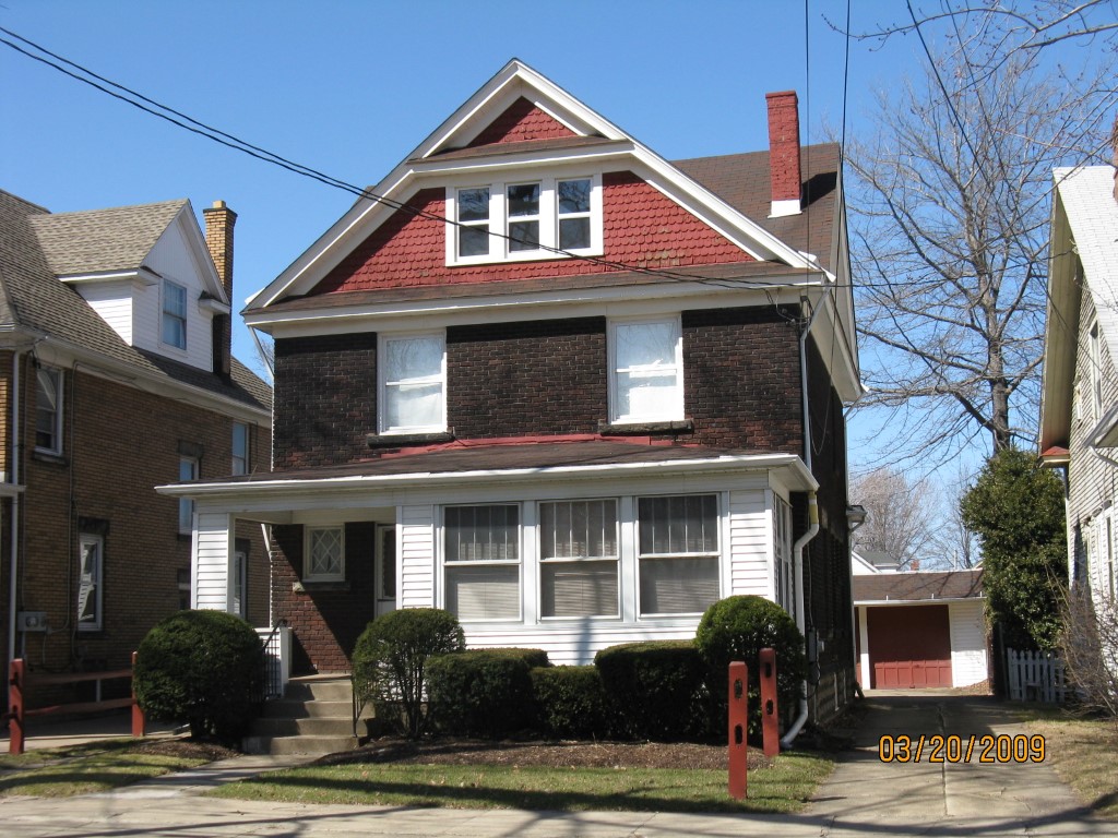
Address: 1220 W 10 ST
Parcel: 16030059013400
Parcel Profile
Address
1220 | W | 10 | ST
Street Status
PAVED
School District
CITY OF ERIE SCHOOL
Acreage
0.1562
Classification
R
Land Use Code
SINGLE FAMILY
Legal Description
1220 W 10 ST 41.25 X 165
Square Feet
1921
Topo
LEVEL
Utility
ALL PUBLIC
Zoning
Please contact your municipal zoning officer
Deed Book
0677
Deed Page
2235
2026 Tax Values
Land Value / Taxable
9,600 / 9,600.00
Building Value / Taxable
65,500 / 65,500.00
Total Value / Taxable
75,100 / 75,100.00
Clean & Green
Inactive
Homestead Status
Active
Farmstead Status
Inactive
Lerta Amount
0
Lerta Expiration Year
0
Residential Data
Card 1
Style
OLD STYLE
Basement
FULL
Year Built
1917
Exterior Wall
BRICK
Total Living Area
1921
Full Baths
2
Half Baths
0
Fuel Type
GAS
Heating
CENTRAL A/C
Heating System
FORCED AIR
Stories
2.0
Total Bedrooms
4
Total Family Rooms
0
Total Rooms
8
Fireplaces
0
Other Buildings & Yards
Description
Built
Width
Length
Area
FRAME OR CB DETACHED GARAGE
1937
20
22
440
Sales History
Sale Date
Type
Price
Book / Page
Other Info
12/9/1999
LAND & BUILDING
66500
0677 / 2235
Parcel Sketches
Residential Card 1
A
MAIN
858 square feet
B
OFP OPEN FRAME PORCH
81 square feet
C
EFP ENCL FRAME PORCH
45 square feet
D
UNFIN BSMT BASEMENT UNFINISHED 1S FR ONE STORY FRAME
70 square feet
E
UNFIN BSMT BASEMENT UNFINISHED 1S FR ONE STORY FRAME
135 square feet
Parcel Images
Please note:
this tab is for informational purposes only and may not show all delinquencies, see the Taxes tab for more accurate delinquent taxes due.