Elected Officials
Courts
Departments
Initiatives
Open Government
About
Login / Register
Home
/
Property & Tax Records
/
Property Records
/
Property & Tax Search
/
Parcel Profile
/
Print View
Search for Another Parcel
Parcel Profile
Historical Card
Sketches
Photos
Tax Map
Taxes
Print View
Print This Page
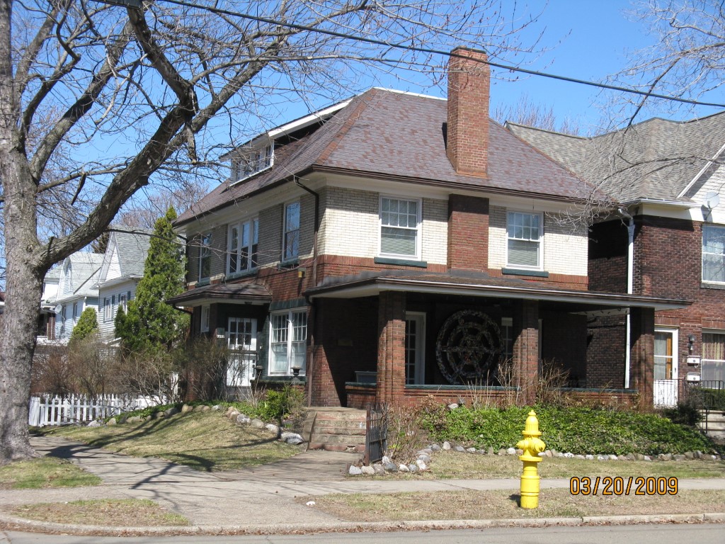
Address: 1262 W 9 ST
Parcel: 16030059022900
Parcel Profile
Address
1262 | W | 9 | ST
Street Status
PAVED
School District
CITY OF ERIE SCHOOL
Acreage
0.0938
Classification
R
Land Use Code
SINGLE FAMILY
Legal Description
1262 W 9 ST 41.25X99
Square Feet
2064
Topo
LEVEL
Utility
ALL PUBLIC
Zoning
Please contact your municipal zoning officer
Deed Book
1089
Deed Page
1827
2026 Tax Values
Land Value / Taxable
8,700 / 8,700.00
Building Value / Taxable
85,900 / 85,900.00
Total Value / Taxable
94,600 / 94,600.00
Clean & Green
Inactive
Homestead Status
Active
Farmstead Status
Inactive
Lerta Amount
0
Lerta Expiration Year
0
Residential Data
Card 1
Style
OLD STYLE
Basement
FULL
Year Built
1914
Exterior Wall
BRICK
Total Living Area
2064
Full Baths
2
Half Baths
0
Fuel Type
GAS
Heating
CENTRAL
Heating System
FORCED AIR
Stories
2.0
Total Bedrooms
3
Total Family Rooms
1
Total Rooms
7
Fireplaces
1
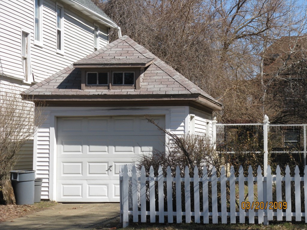
Other Buildings & Yards
Description
Built
Width
Length
Area
FRAME OR CB DETACHED GARAGE
1916
12
20
240
Sales History
Sale Date
Type
Price
Book / Page
Other Info
11/25/2003
LAND & BUILDING
0
1089 / 1827
WARRANTY/SURVIVORSHIP DEED
5/17/2002
LAND & BUILDING
100000
881 / 1145
6/3/1999
LAND & BUILDING
95000
640 / 1560
Parcel Sketches
Residential Card 1
A
MAIN
840 square feet
B
OMP OPEN MASONRY PORCH
207 square feet
C
EMP ENCL MASONRY PORCH
24 square feet
D
FR UT FRAME UTILITY BUILDING
30 square feet
Parcel Images
Please note:
this tab is for informational purposes only and may not show all delinquencies, see the Taxes tab for more accurate delinquent taxes due.