Elected Officials
Courts
Departments
Initiatives
Open Government
About
Login / Register
Home
/
Property & Tax Records
/
Property Records
/
Property & Tax Search
/
Parcel Profile
/
Print View
Search for Another Parcel
Parcel Profile
Historical Card
Sketches
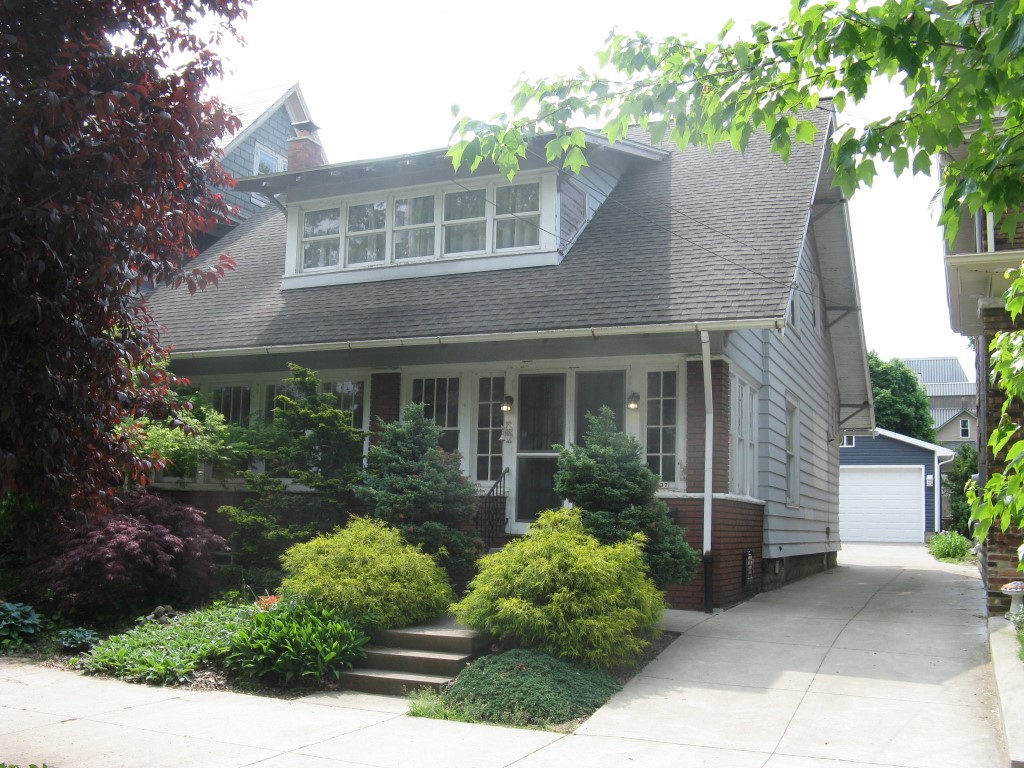
Photos
Tax Map
Taxes
Print View
Print This Page
Address: 1337 W 10 ST
Parcel: 16030060011700
Parcel Profile
Address
1337 | W | 10 | ST
Street Status
PAVED
School District
CITY OF ERIE SCHOOL
Acreage
0.1562
Classification
R
Land Use Code
SINGLE FAMILY
Legal Description
1337 W 10 ST 41.25 X 165
Square Feet
1815
Topo
LEVEL
Utility
ALL PUBLIC
Zoning
Please contact your municipal zoning officer
Deed Book
2010
Deed Page
021115
2026 Tax Values
Land Value / Taxable
9,600 / 9,600.00
Building Value / Taxable
69,740 / 66,664.00
Total Value / Taxable
79,340 / 76,264.00
Clean & Green
Inactive
Homestead Status
Active
Farmstead Status
Inactive
Lerta Amount
3076.00
Lerta Expiration Year
2028
Residential Data
Card 1
Style
OLD STYLE
Basement
FULL
Year Built
1916
Exterior Wall
ALUMINUM/VINYL
Total Living Area
1815
Full Baths
1
Half Baths
0
Fuel Type
GAS
Heating
CENTRAL
Heating System
FORCED AIR
Stories
1.5
Total Bedrooms
2
Total Family Rooms
0
Total Rooms
5
Fireplaces
0
Other Buildings & Yards
Description
Built
Width
Length
Area
FRAME OR CB DETACHED GARAGE
2018
19
30
570
Sales History
Sale Date
Type
Price
Book / Page
Other Info
8/27/2010
LAND & BUILDING
0
2010 / 021115
DEED
3/31/2004
LAND & BUILDING
101000
1120 / 0413
WARRANTY/SURVIVORSHIP DEED
8/13/2002
LAND & BUILDING
61500
910 / 289
5/30/2002
LAND & BUILDING
0
885 / 11
SHERIFF'S DED
5/14/2002
LAND & BUILDING
0
879 / 1851
SHERIFF'S DED
Parcel Sketches
Residential Card 1
A
MAIN
900 square feet
B
UNFIN BSMT BASEMENT UNFINISHED 1S FR ONE STORY FRAME 1S FR ONE STORY FRAME
120 square feet
C
UNFIN BSMT BASEMENT UNFINISHED EMP ENCL MASONRY PORCH
270 square feet
Parcel Images
Please note:
this tab is for informational purposes only and may not show all delinquencies, see the Taxes tab for more accurate delinquent taxes due.