Elected Officials
Courts
Departments
Initiatives
Open Government
About
Login / Register
Home
/
Property & Tax Records
/
Property Records
/
Property & Tax Search
/
Parcel Profile
/
Print View
Search for Another Parcel
Parcel Profile
Historical Card
Sketches
Photos
Tax Map
Taxes
Print View
Print This Page
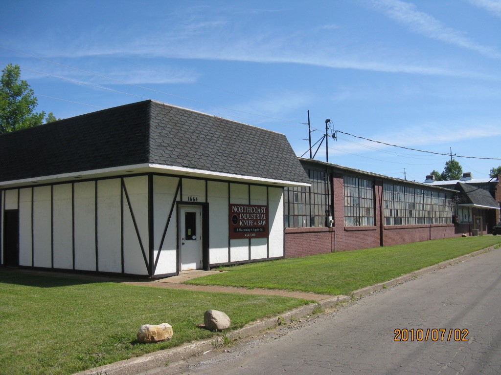
Address: 1664 W 20 ST
Parcel: 16031025020100
Parcel Profile
Address
1664 | W | 20 | ST
Street Status
PAVED
School District
CITY OF ERIE SCHOOL
Acreage
0.9661
Classification
I
Land Use Code
HEAVY INDUSTRIAL
Legal Description
1664 W 20 ST 42083 SQ FT
Square Feet
19668
Topo
LEVEL
Utility
ALL PUBLIC
Zoning
Please contact your municipal zoning officer
Deed Book
2020
Deed Page
027047
2026 Tax Values
Land Value / Taxable
105,200 / 105,200.00
Building Value / Taxable
137,700 / 137,700.00
Total Value / Taxable
242,900 / 242,900.00
Clean & Green
Inactive
Homestead Status
Inactive
Farmstead Status
Inactive
Lerta Amount
0
Lerta Expiration Year
0
Commercial Data
Card 1
WAREHOUSE
Business Living Area - 19668
Year Built - 1930
Improvement Name - NORTHCOAST IND KNIFE AND SAW
Value - 133570
Other Buildings & Yards
Description
Built
Width
Length
Area
METAL SHED
1930
18
43
774
Sales History
Sale Date
Type
Price
Book / Page
Other Info
12/15/2020
LAND & BUILDING
0
2020 / 027047
FIDUCIARY DEED
8/1/2007
LAND & BUILDING
0
1436 / 0301
QUIT CLAIM DEED
3/22/1988
0
0044 / 1441
Parcel Sketches
Commercial Card 1
A
MAIN
8630 square feet
B
MAIN
2640 square feet
C
MAIN
3308 square feet
D
MAIN
3308 square feet
E
MAIN
1782 square feet
Parcel Images
Please note:
this tab is for informational purposes only and may not show all delinquencies, see the Taxes tab for more accurate delinquent taxes due.