Elected Officials
Courts
Departments
Initiatives
Open Government
About
Login / Register
Home
/
Property & Tax Records
/
Property Records
/
Property & Tax Search
/
Parcel Profile
/
Print View
Search for Another Parcel
Parcel Profile
Historical Card
Sketches
Photos
Tax Map
Taxes
Print View
Print This Page
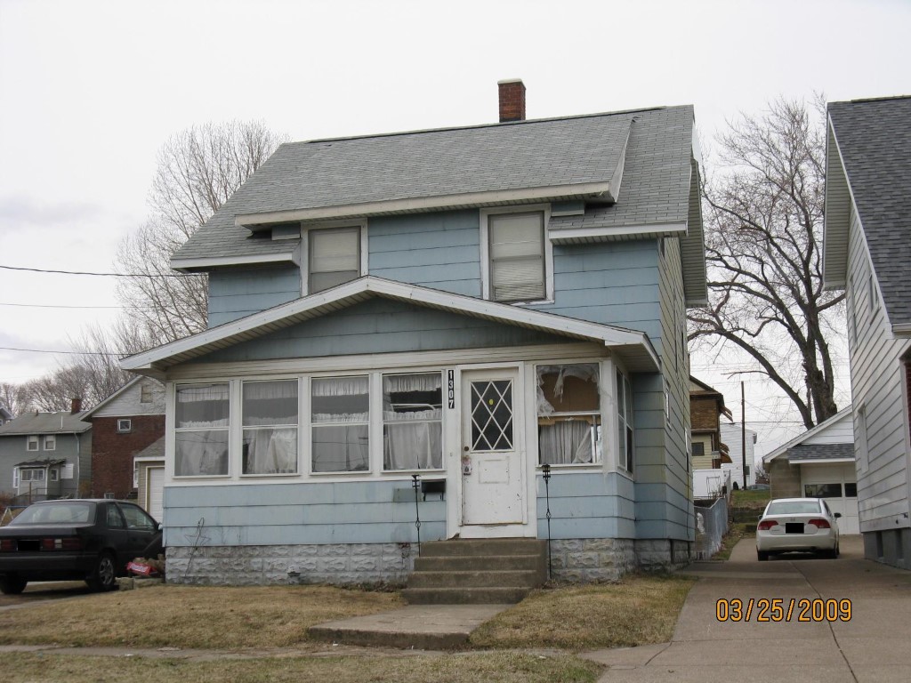
Address: 1307 W 20 ST
Parcel: 16031028010300
Parcel Profile
Address
1307 | W | 20 | ST
Street Status
PAVED
School District
CITY OF ERIE SCHOOL
Acreage
0.1054
Classification
R
Land Use Code
SINGLE FAMILY
Legal Description
1307 W 20 ST LOT 12 34 X 135
Square Feet
1232
Topo
LEVEL
Utility
ALL PUBLIC
Zoning
Please contact your municipal zoning officer
Deed Book
2021
Deed Page
013726
2026 Tax Values
Land Value / Taxable
9,000 / 9,000.00
Building Value / Taxable
35,900 / 35,900.00
Total Value / Taxable
44,900 / 44,900.00
Clean & Green
Inactive
Homestead Status
Active
Farmstead Status
Inactive
Lerta Amount
0
Lerta Expiration Year
0
Residential Data
Card 1
Style
CONVENTIONAL
Basement
FULL
Year Built
1921
Exterior Wall
COMPOSITION
Total Living Area
1232
Full Baths
1
Half Baths
0
Fuel Type
GAS
Heating
CENTRAL
Heating System
FORCED AIR
Stories
2.0
Total Bedrooms
3
Total Family Rooms
0
Total Rooms
6
Fireplaces
0
Other Buildings & Yards
No OBY Data Found
Sales History
Sale Date
Type
Price
Book / Page
Other Info
6/1/2021
LAND & BUILDING
94400
2021 / 013726
SPECIAL WARRANTY DEED
1/3/2006
LAND & BUILDING
0
1298 / 0756
QUIT CLAIM DEED
4/16/1998
0
0554 / 1284
Parcel Sketches
Residential Card 1
A
MAIN
616 square feet
B
UNFIN BSMT BASEMENT UNFINISHED EFP ENCL FRAME PORCH
144 square feet
Parcel Images
Please note:
this tab is for informational purposes only and may not show all delinquencies, see the Taxes tab for more accurate delinquent taxes due.