Elected Officials
Courts
Departments
Initiatives
Open Government
About
Login / Register
Home
/
Property & Tax Records
/
Property Records
/
Property & Tax Search
/
Parcel Profile
/
Print View
Search for Another Parcel
Parcel Profile
Historical Card
Sketches
Photos
Tax Map
Taxes
Print View
Print This Page
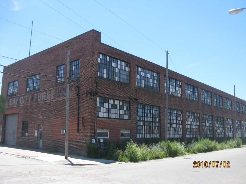
Address: 1802 CRANBERRY
Parcel: 16031031010100
Parcel Profile
Address
1802 | CRANBERRY
Street Status
PAVED
School District
CITY OF ERIE SCHOOL
Acreage
1.5504
Classification
I
Land Use Code
HEAVY INDUSTRIAL
Legal Description
1802 CRANBERRY ST LOT 1 1.5504 AC NET
Square Feet
29915
Topo
LEVEL
Utility
ALL PUBLIC
Zoning
Please contact your municipal zoning officer
Deed Book
2015
Deed Page
019808
2026 Tax Values
Land Value / Taxable
77,500 / 77,500.00
Building Value / Taxable
160,500 / 160,500.00
Total Value / Taxable
238,000 / 238,000.00
Clean & Green
Inactive
Homestead Status
Inactive
Farmstead Status
Inactive
Lerta Amount
0
Lerta Expiration Year
0
Commercial Data
Card 1
WAREHOUSE
Business Living Area - 14850
Year Built - 1900
Improvement Name - BAY CITY FORGE
Value - 107990
Card 2
WAREHOUSE
Business Living Area - 15065
Year Built - 1900
Improvement Name - BAY CITY FORGE
Value - 59290
Other Buildings & Yards
No OBY Data Found
Sales History
Sale Date
Type
Price
Book / Page
Other Info
9/9/2015
LAND & BUILDING
0
2015 / 019808
CORRECTIVE DEED
7/30/2015
LAND & BUILDING
205000
2015 / 016346
DEED
12/20/2002
LAND & BUILDING
225000
0959 / 2386
1/9/1998
0
0537 / 1204
Parcel Sketches
Commercial Card 1
A
MAIN
400 square feet
B
MAIN
400 square feet
C
MAIN
10650 square feet
D
MAIN
3000 square feet
Commercial Card 2
A
MAIN
1040 square feet
B
MAIN
14025 square feet
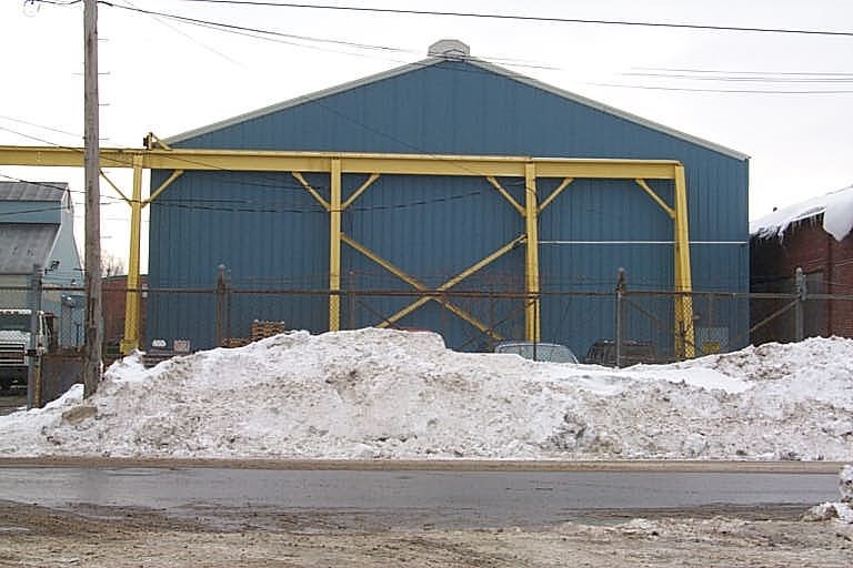
Parcel Images
Please note:
this tab is for informational purposes only and may not show all delinquencies, see the Taxes tab for more accurate delinquent taxes due.