Elected Officials
Courts
Departments
Initiatives
Open Government
About
Login / Register
Home
/
Property & Tax Records
/
Property Records
/
Property & Tax Search
/
Parcel Profile
/
Print View
Search for Another Parcel
Parcel Profile
Historical Card
Sketches
Photos
Tax Map
Taxes
Print View
Print This Page
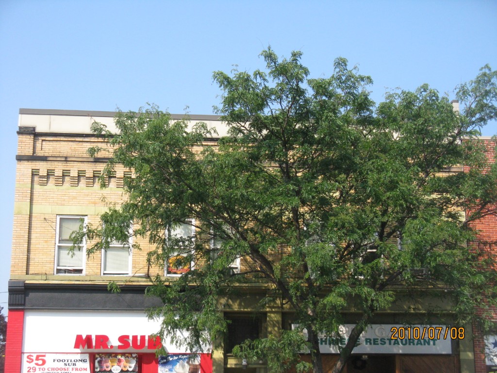
Address: 418 20 STATE 45 X 159
Parcel: 17040002020100
Parcel Profile
Address
418 | 20 | STATE 45 X 159
Street Status
PAVED | SIDEWALK
School District
CITY OF ERIE SCHOOL
Acreage
0.1643
Classification
C
Land Use Code
RESTAURANTS, STORES (RETAIL)
Legal Description
418 20 STATE 45 X 159
Square Feet
7200
Topo
LEVEL
Utility
ALL PUBLIC
Zoning
Please contact your municipal zoning officer
Deed Book
2015
Deed Page
016483
2026 Tax Values
Land Value / Taxable
71,600 / 71,600.00
Building Value / Taxable
166,000 / 166,000.00
Total Value / Taxable
237,600 / 237,600.00
Clean & Green
Inactive
Homestead Status
Inactive
Farmstead Status
Inactive
Lerta Amount
0
Lerta Expiration Year
0
Commercial Data
Card 1
DOWNTOWN ROW TYPE
Business Living Area - 7200
Year Built - 1903
Improvement Name - MR SUB /HAPPY GARDEN
Value - 206310
Other Buildings & Yards
No OBY Data Found
Sales History
Sale Date
Type
Price
Book / Page
Other Info
7/31/2015
LAND & BUILDING
300000
2015 / 016483
SPECIAL WARRANTY DEED
1/10/2003
LAND & BUILDING
0
965 / 1586
AFFIDAVIT
11/22/2002
LAND & BUILDING
138650
948 / 1623
10/29/1976
0
1242 / 0214
Parcel Sketches
Commercial Card 1
A
MAIN
3600 square feet
B
MAIN
3600 square feet
C
MAIN
3600 square feet
Parcel Images
Please note:
this tab is for informational purposes only and may not show all delinquencies, see the Taxes tab for more accurate delinquent taxes due.