Elected Officials
Courts
Departments
Initiatives
Open Government
About
Login / Register
Home
/
Property & Tax Records
/
Property Records
/
Property & Tax Search
/
Parcel Profile
/
Print View
Search for Another Parcel
Parcel Profile
Historical Card
Sketches
Photos
Tax Map
Taxes
Print View
Print This Page
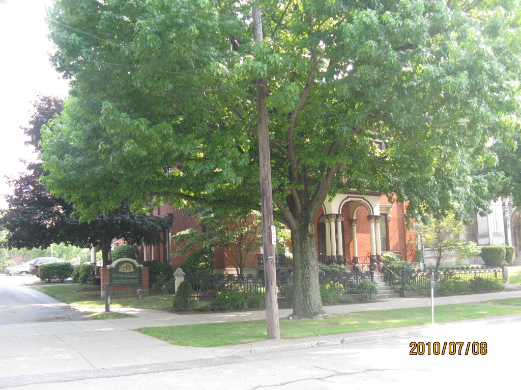
Address: 235 W 6 ST
Parcel: 17040007020600
Parcel Profile
Address
235 | W | 6 | ST
Street Status
PAVED
School District
CITY OF ERIE SCHOOL
Acreage
0.1932
Classification
C
Land Use Code
OFFICE BLDGS/LABS/LIBRARIES
Legal Description
235 W 6 ST 87.5 X 10²
Square Feet
8100
Topo
LEVEL
Utility
ALL PUBLIC
Zoning
Please contact your municipal zoning officer
Deed Book
2026
Deed Page
000296
2026 Tax Values
Land Value / Taxable
33,700 / 33,700.00
Building Value / Taxable
231,600 / 231,600.00
Total Value / Taxable
265,300 / 265,300.00
Clean & Green
Inactive
Homestead Status
Inactive
Farmstead Status
Inactive
Lerta Amount
0
Lerta Expiration Year
0
Commercial Data
Card 1
MIXED RESIDENTIAL/COMMERCIAL
Business Living Area - 8100
Year Built - 1830
Improvement Name - SOURCE FINANCIAL GROUP
Value - 272000
Other Buildings & Yards
No OBY Data Found
Sales History
Sale Date
Type
Price
Book / Page
Other Info
1/7/2026
LAND & BUILDING
1750000
2026 / 000296
SPECIAL WARRANTY DEED
2/3/2022
LAND & BUILDING
0
2022 / 002341
QUIT CLAIM DEED
4/1/2013
LAND & BUILDING
74000
2013 / 007342
CORPORATE DEED
4/29/1968
0
0980 / 0274
Parcel Sketches
Commercial Card 1
A
MAIN
2700 square feet
B
MAIN
2700 square feet
C
MAIN
2700 square feet
Parcel Images
Please note:
this tab is for informational purposes only and may not show all delinquencies, see the Taxes tab for more accurate delinquent taxes due.