Elected Officials
Courts
Departments
Initiatives
Open Government
About
Login / Register
Home
/
Property & Tax Records
/
Property Records
/
Property & Tax Search
/
Parcel Profile
/
Print View
Search for Another Parcel
Parcel Profile
Historical Card
Sketches
Photos
Tax Map
Taxes
Print View
Print This Page
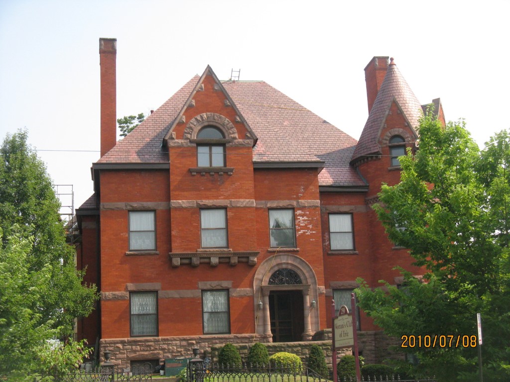
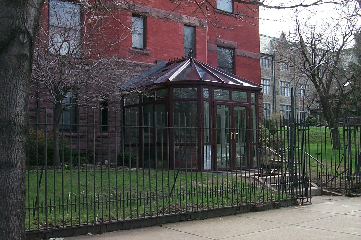
Address: 259 W 6 ST
Parcel: 17040007020800
Parcel Profile
Address
259 | W | 6 | ST
Street Status
PAVED
School District
CITY OF ERIE SCHOOL
Acreage
0.4339
Classification
C
Land Use Code
NON-PROFIT ORG-ELKS,KNIGHTS OF COLUM ETC
Legal Description
259 W 6TH ST 100 X 189
Square Feet
5646
Topo
ROLLING
Utility
ALL PUBLIC
Zoning
Please contact your municipal zoning officer
Deed Book
2025
Deed Page
000284
2026 Tax Values
Land Value / Taxable
56,700 / 56,700.00
Building Value / Taxable
142,900 / 142,900.00
Total Value / Taxable
199,600 / 199,600.00
Clean & Green
Inactive
Homestead Status
Inactive
Farmstead Status
Inactive
Lerta Amount
0.00
Lerta Expiration Year
2016
Commercial Data
Card 1
SOCIAL/FRATERNAL HALL
Business Living Area - 5646
Year Built - 1888
Improvement Name - WOMEN'S CLUB
Value - 280690
Other Buildings & Yards
No OBY Data Found
Sales History
Sale Date
Type
Price
Book / Page
Other Info
1/6/2025
LAND & BUILDING
260000
2025 / 000284
SPECIAL WARRANTY DEED
Parcel Sketches
Commercial Card 1
A
MAIN
2787 square feet
B
MAIN
2787 square feet
C
MAIN
2859 square feet
D
MAIN
1430 square feet
Parcel Images
Please note:
this tab is for informational purposes only and may not show all delinquencies, see the Taxes tab for more accurate delinquent taxes due.