Elected Officials
Courts
Departments
Initiatives
Open Government
About
Login / Register
Home
/
Property & Tax Records
/
Property Records
/
Property & Tax Search
/
Parcel Profile
/
Print View
Search for Another Parcel
Parcel Profile
Historical Card
Sketches
Photos
Tax Map
Taxes
Print View
Print This Page
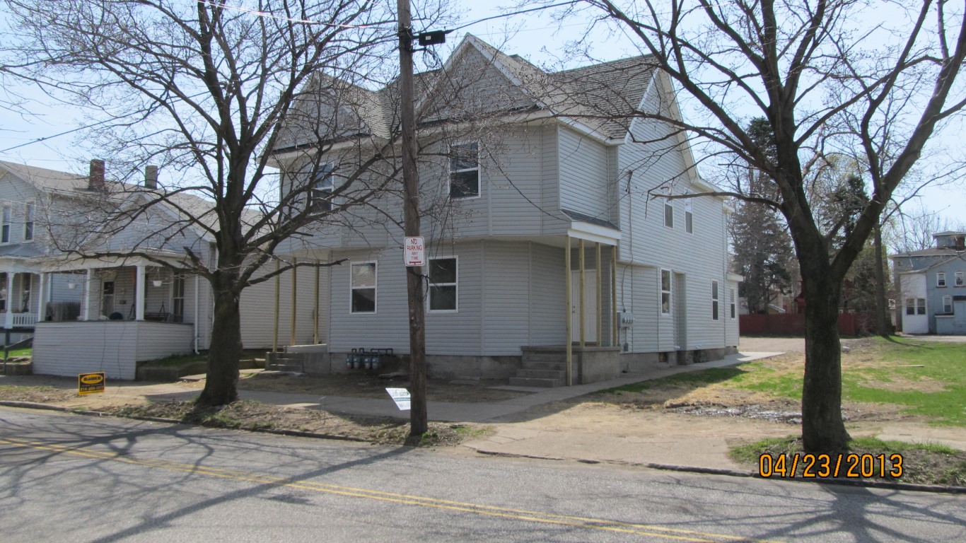
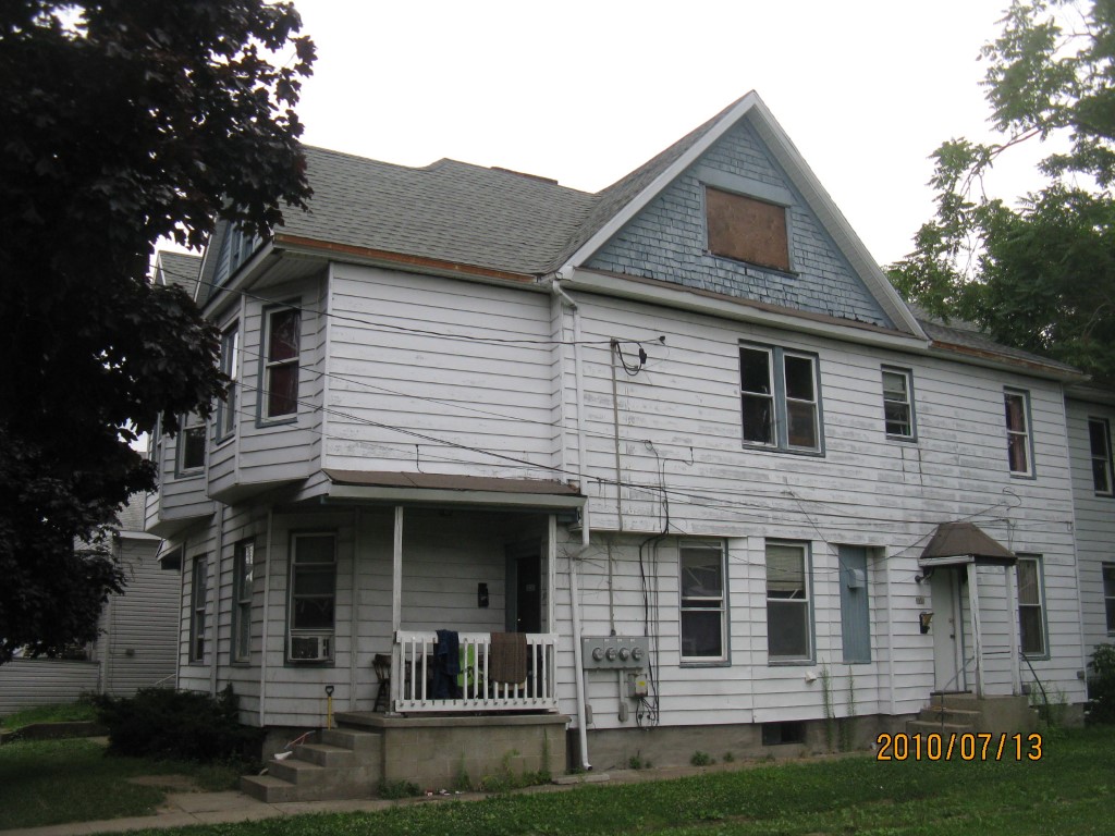
Address: 333 35 W 4 ST
Parcel: 17040011021300
Parcel Profile
Address
333 | 35 | W | 4 | ST
Street Status
PAVED | SIDEWALK
School District
CITY OF ERIE SCHOOL
Acreage
0.1421
Classification
A
Land Use Code
APARTMENTS 4 - 19 UNITS
Legal Description
333 35 W 4 ST 41.25 X 150
Square Feet
4110
Topo
LEVEL
Utility
ALL PUBLIC
Zoning
Please contact your municipal zoning officer
Deed Book
2012
Deed Page
017053
2026 Tax Values
Land Value / Taxable
12,400 / 12,400.00
Building Value / Taxable
125,800 / 125,800.00
Total Value / Taxable
138,200 / 138,200.00
Clean & Green
Inactive
Homestead Status
Inactive
Farmstead Status
Inactive
Lerta Amount
0.00
Lerta Expiration Year
2017
Commercial Data
Card 1
RESIDENTIAL 4 FAMILY
Business Living Area - 4110
Year Built - 1900
Improvement Name - APARTMENTS
Value - 148160
Other Buildings & Yards
No OBY Data Found
Sales History
Sale Date
Type
Price
Book / Page
Other Info
6/28/2012
LAND & BUILDING
35000
2012 / 017053
SPECIAL WARRANTY DEED
7/19/2005
LAND & BUILDING
84000
1252 / 1759
WARRANTY/SURVIVORSHIP DEED
8/11/2004
LAND & BUILDING
54475
1163 / 0560
DEED
11/18/1971
0
1057 / 0319
Parcel Sketches
Commercial Card 1
A
MAIN
1920 square feet
B
MAIN
2040 square feet
C
MAIN
2070 square feet
D
MAIN
960 square feet
Parcel Images
Please note:
this tab is for informational purposes only and may not show all delinquencies, see the Taxes tab for more accurate delinquent taxes due.