Elected Officials
Courts
Departments
Initiatives
Open Government
About
Login / Register
Home
/
Property & Tax Records
/
Property Records
/
Property & Tax Search
/
Parcel Profile
/
Print View
Search for Another Parcel
Parcel Profile
Historical Card
Sketches
Photos
Tax Map
Taxes
Print View
Print This Page
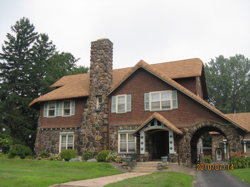
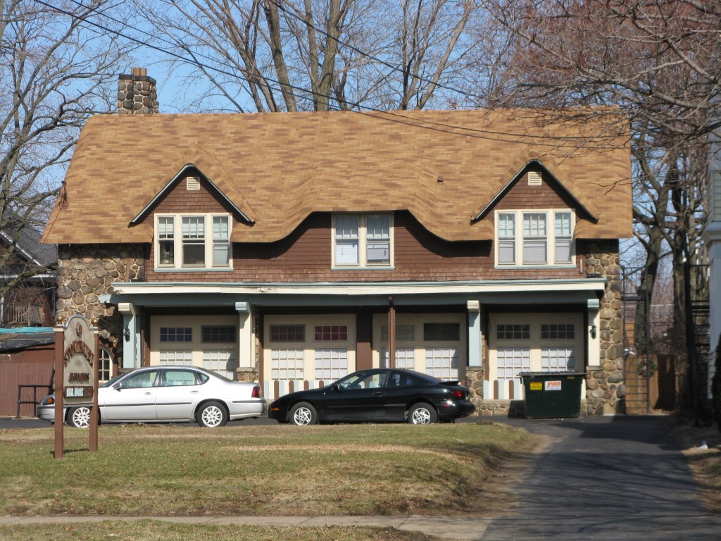
Address: 520 W 6 ST
Parcel: 17040017012600
Parcel Profile
Address
520 | W | 6 | ST
Street Status
PAVED
School District
CITY OF ERIE SCHOOL
Acreage
0.7100
Classification
A
Land Use Code
APARTMENTS 4 - 19 UNITS
Legal Description
520 W 6 ST 163.75 X 300 IRREG | 0.71 AC
Square Feet
14998
Topo
LEVEL
Utility
ALL PUBLIC
Zoning
Please contact your municipal zoning officer
Deed Book
2024
Deed Page
014794
2026 Tax Values
Land Value / Taxable
89,400 / 89,400.00
Building Value / Taxable
422,100 / 422,100.00
Total Value / Taxable
511,500 / 511,500.00
Clean & Green
Inactive
Homestead Status
Inactive
Farmstead Status
Inactive
Lerta Amount
0
Lerta Expiration Year
0
Commercial Data
Card 1
MIXED RESIDENTIAL/COMMERCIAL
Business Living Area - 12268
Year Built - 1905
Improvement Name - APARTMENTS
Value - 399020
Card 2
MIXED RESIDENTIAL/COMMERCIAL
Business Living Area - 2730
Year Built - 1905
Improvement Name - APARTMENTS
Value - 134100
Other Buildings & Yards
No OBY Data Found
Sales History
Sale Date
Type
Price
Book / Page
Other Info
9/13/2024
LAND & BUILDING
65000
2024 / 014794
SPECIAL WARRANTY DEED
1/23/2024
LAND & BUILDING
900000
2024 / 001146
SPECIAL WARRANTY DEED
8/26/2021
LAND & BUILDING
664500
2021 / 022907
SPECIAL WARRANTY DEED
10/5/2015
LAND & BUILDING
590000
2015 / 022080
SPECIAL WARRANTY DEED
9/10/2010
LAND & BUILDING
565000
2010 / 022264
WARRANTY/SURVIVORSHIP DEED
12/5/2008
LAND & BUILDING
525000
1534 / 1098
SPECIAL WARRANTY DEED
1/20/2005
LAND & BUILDING
510000
1205 / 1741
SPECIAL WARRANTY DEED
7/31/1997
0
0511 / 1465
7/30/1997
LAND & BUILDING
150000
/
7/30/1997
LAND & BUILDING
150000
/
Parcel Sketches
Commercial Card 1
A
MAIN
3255 square feet
B
MAIN
3412 square feet
C
MAIN
3601 square feet
D
MAIN
2000 square feet
Commercial Card 2
A
MAIN
1560 square feet
B
MAIN
1170 square feet
Parcel Images
Please note:
this tab is for informational purposes only and may not show all delinquencies, see the Taxes tab for more accurate delinquent taxes due.