Elected Officials
Courts
Departments
Initiatives
Open Government
About
Login / Register
Home
/
Property & Tax Records
/
Property Records
/
Property & Tax Search
/
Parcel Profile
/
Print View
Search for Another Parcel
Parcel Profile
Historical Card
Sketches
Photos
Tax Map
Taxes
Print View
Print This Page
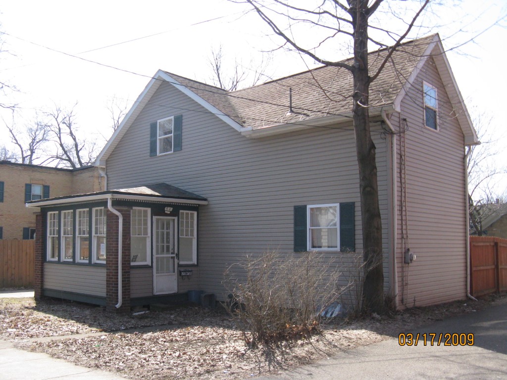
Address: 518 CHERRY ST
Parcel: 17040020010000
Parcel Profile
Address
518 | CHERRY | ST
Street Status
PAVED
School District
CITY OF ERIE SCHOOL
Acreage
0.0712
Classification
R
Land Use Code
RES VACANT
Legal Description
518 CHERRY ST 50 X 62 | REF S1999-24
Topo
LEVEL
Utility
ALL PUBLIC
Zoning
Please contact your municipal zoning officer
Deed Book
2025
Deed Page
002986
2026 Tax Values
Land Value / Taxable
0 / 0.00
Building Value / Taxable
0 / 0.00
Total Value / Taxable
0 / 0.00
Clean & Green
Inactive
Homestead Status
Inactive
Farmstead Status
Inactive
Lerta Amount
0
Lerta Expiration Year
0
Other Buildings & Yards
No OBY Data Found
Sales History
Sale Date
Type
Price
Book / Page
Other Info
2/26/2025
LAND
0
2025 / 002986
DEED
9/29/2023
LAND & BUILDING
230000
2023 / 016530
SPECIAL WARRANTY DEED
3/6/2009
LAND & BUILDING
32000
1547 / 0673
DEED
11/12/2008
LAND & BUILDING
0
1531 / 0117
SHERIFF'S DED
7/5/2007
LAND & BUILDING
30000
1429 / 1108
DEED
11/3/2006
LAND & BUILDING
0
1373 / 2087
SHERIFF'S DED
4/12/2005
LAND & BUILDING
59000
1224 / 1118
WARRANTY/SURVIVORSHIP DEED
9/28/2000
LAND & BUILDING
180000
729 / 570
3/5/1999
0
0621 / 1867
Parcel Sketches
Invalid Parcel Number or No Sketches on File
Parcel Images
Please note:
this tab is for informational purposes only and may not show all delinquencies, see the Taxes tab for more accurate delinquent taxes due.