Elected Officials
Courts
Departments
Initiatives
Open Government
About
Login / Register
Home
/
Property & Tax Records
/
Property Records
/
Property & Tax Search
/
Parcel Profile
/
Print View
Search for Another Parcel
Parcel Profile
Historical Card
Sketches
Photos
Tax Map
Taxes
Print View
Print This Page
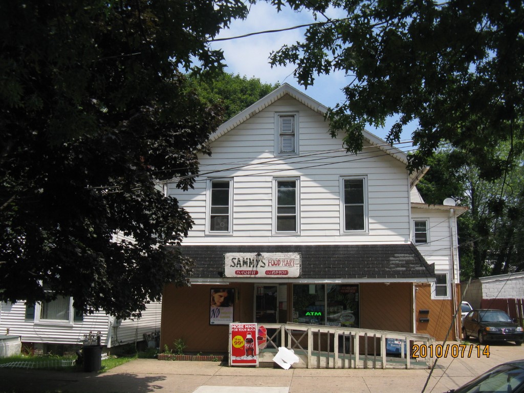
Address: 717 LIBERTY ST
Parcel: 17040022012200
Parcel Profile
Address
717 | LIBERTY | ST
Street Status
PAVED
School District
CITY OF ERIE SCHOOL
Acreage
0.0890
Classification
C
Land Use Code
RESTAURANTS, STORES (RETAIL)
Legal Description
717 LIBERTY ST 47X82*5
Square Feet
3582
Topo
LEVEL
Utility
ALL PUBLIC
Zoning
Please contact your municipal zoning officer
Deed Book
2017
Deed Page
002038
2026 Tax Values
Land Value / Taxable
7,800 / 7,800.00
Building Value / Taxable
64,300 / 64,300.00
Total Value / Taxable
72,100 / 72,100.00
Clean & Green
Inactive
Homestead Status
Active
Farmstead Status
Inactive
Lerta Amount
0
Lerta Expiration Year
0
Commercial Data
Card 1
MIXED RES/COMM
Business Living Area - 3582
Year Built - 1892
Improvement Name - JENNIFER'S HAIR DO
Value - 72200
Other Buildings & Yards
No OBY Data Found
Sales History
Sale Date
Type
Price
Book / Page
Other Info
1/30/2017
LAND & BUILDING
0
2017 / 002038
DEED
8/21/2013
LAND & BUILDING
100000
2013 / 022219
DEED
7/2/1982
0
1462 / 0288
Parcel Sketches
Commercial Card 1
A
MAIN
1656 square feet
B
MAIN
1816 square feet
C
MAIN
1766 square feet
Parcel Images
Please note:
this tab is for informational purposes only and may not show all delinquencies, see the Taxes tab for more accurate delinquent taxes due.