Elected Officials
Courts
Departments
Initiatives
Open Government
About
Login / Register
Home
/
Property & Tax Records
/
Property Records
/
Property & Tax Search
/
Parcel Profile
/
Print View
Search for Another Parcel
Parcel Profile
Historical Card
Sketches
Photos
Tax Map
Taxes
Print View
Print This Page
Address: 415 RASPBERRY ST
Parcel: 17040032022300
Parcel Profile
Address
415 | RASPBERRY | ST
Street Status
PAVED
School District
CITY OF ERIE SCHOOL
Acreage
0.1194
Classification
R
Land Use Code
SINGLE FAMILY
Legal Description
415 RASPBERRY ST 40 X 130
Square Feet
1044
Topo
LEVEL
Utility
ALL PUBLIC
Zoning
Please contact your municipal zoning officer
Deed Book
2025
Deed Page
012044
2026 Tax Values
Land Value / Taxable
8,500 / 8,500.00
Building Value / Taxable
40,740 / 40,740.00
Total Value / Taxable
49,240 / 49,240.00
Clean & Green
Inactive
Homestead Status
Active
Farmstead Status
Inactive
Lerta Amount
0
Lerta Expiration Year
0
Residential Data
Card 1
Style
CONVENTIONAL
Basement
FULL
Year Built
1900
Exterior Wall
ALUMINUM/VINYL
Total Living Area
1044
Full Baths
1
Half Baths
0
Fuel Type
GAS
Heating
CENTRAL
Heating System
FORCED AIR
Stories
1.5
Total Bedrooms
4
Total Family Rooms
0
Total Rooms
6
Fireplaces
0
Other Buildings & Yards
No OBY Data Found
Sales History
Sale Date
Type
Price
Book / Page
Other Info
7/21/2025
LAND & BUILDING
30000
2025 / 012044
FIDUCIARY DEED
8/30/2005
LAND & BUILDING
0
1265 / 1113
QUIT CLAIM DEED
10/5/1992
0
0233 / 0962
Parcel Sketches
Residential Card 1
A
MAIN
432 square feet
B
UNFIN BSMT BASEMENT UNFINISHED 1S FR ONE STORY FRAME
288 square feet
C
EFP ENCL FRAME PORCH
168 square feet
D
MA STOOP/TERR MAS STOOP
25 square feet
E
EFP ENCL FRAME PORCH
160 square feet
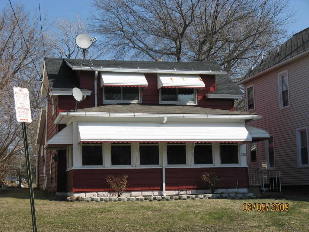
Parcel Images
Please note:
this tab is for informational purposes only and may not show all delinquencies, see the Taxes tab for more accurate delinquent taxes due.