Elected Officials
Courts
Departments
Initiatives
Open Government
About
Login / Register
Home
/
Property & Tax Records
/
Property Records
/
Property & Tax Search
/
Parcel Profile
/
Print View
Search for Another Parcel
Parcel Profile
Historical Card
Sketches
Photos
Tax Map
Taxes
Print View
Print This Page
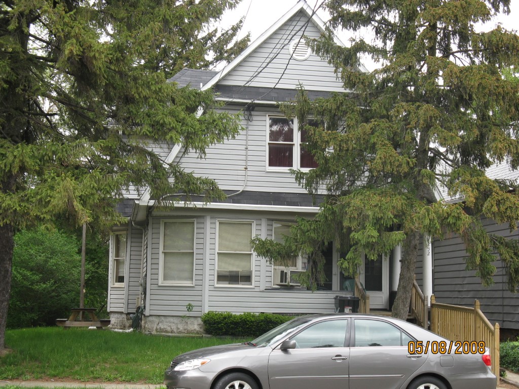
Address: 232 E 26 ST
Parcel: 18050011012900
Parcel Profile
Address
232 | E | 26 | ST
Street Status
PAVED | SIDEWALK
School District
CITY OF ERIE SCHOOL
Acreage
0.1474
Classification
E
Land Use Code
EXEMPT NON-PROFIT ORGANIZATIONS
Legal Description
232 E 26 ST 41 X 150
Square Feet
2714
Topo
LEVEL
Utility
ALL PUBLIC
Zoning
Please contact your municipal zoning officer
Deed Book
0091
Deed Page
1217
2026 Tax Values
Land Value / Taxable
19,300 / 19,300.00
Building Value / Taxable
39,200 / 39,200.00
Total Value / Taxable
58,500 / 58,500.00
Clean & Green
Inactive
Homestead Status
Inactive
Farmstead Status
Inactive
Lerta Amount
0
Lerta Expiration Year
0
Commercial Data
Card 1
RESIDENTIAL 3 FAMILY
Business Living Area - 2714
Year Built - 1910
Improvement Name - COMMUNITY SHELTER
Value - 39220
Other Buildings & Yards
No OBY Data Found
Sales History
Sale Date
Type
Price
Book / Page
Other Info
7/5/1989
0
0091 / 1217
Parcel Sketches
Commercial Card 1
A
MAIN
886 square feet
B
MAIN
874 square feet
C
MAIN
954 square feet
D
MAIN
416 square feet
Parcel Images
Please note:
this tab is for informational purposes only and may not show all delinquencies, see the Taxes tab for more accurate delinquent taxes due.