Elected Officials
Courts
Departments
Initiatives
Open Government
About
Login / Register
Home
/
Property & Tax Records
/
Property Records
/
Property & Tax Search
/
Parcel Profile
/
Print View
Search for Another Parcel
Parcel Profile
Historical Card
Sketches
Photos
Tax Map
Taxes
Print View
Print This Page
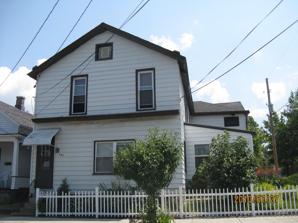
Address: 701 E 22 ST
Parcel: 18050030021900
Parcel Profile
Address
701 | E | 22 | ST
Street Status
PAVED
School District
CITY OF ERIE SCHOOL
Acreage
0.0558
Classification
C
Land Use Code
OFFICE BLDGS/LABS/LIBRARIES
Legal Description
701 E 22 ST 38 X 128
Square Feet
11140
Topo
LEVEL
Utility
ALL PUBLIC
Zoning
Please contact your municipal zoning officer
Deed Book
2024
Deed Page
018159
2026 Tax Values
Land Value / Taxable
3,000 / 3,000.00
Building Value / Taxable
3,310 / 3,310.00
Total Value / Taxable
6,310 / 6,310.00
Clean & Green
Inactive
Homestead Status
Inactive
Farmstead Status
Inactive
Lerta Amount
0
Lerta Expiration Year
0
Commercial Data
Card 1
MIXED RESIDENTIAL/COMMERCIAL
Business Living Area - 10207
Year Built - 1900
Improvement Name - JOEL TWO RESTORATION MINISTRY
Value - 129040
Card 2
MIXED RES/COMM
Business Living Area - 933
Year Built - 1900
Improvement Name -
Value - 6410
Other Buildings & Yards
No OBY Data Found
Sales History
Sale Date
Type
Price
Book / Page
Other Info
11/4/2024
LAND & BUILDING
16500
2024 / 018159
SPECIAL WARRANTY DEED
6/1/2021
LAND & BUILDING
0
2021 / 013633
SPECIAL WARRANTY DEED
10/23/2003
LAND & BUILDING
0
1079 / 778
DEED
7/18/1991
0
0169 / 0607
Parcel Sketches
Commercial Card 1
A
MAIN
2419 square feet
B
MAIN
3067 square feet
C
MAIN
546 square feet
D
MAIN
2965 square feet
E
MAIN
1210 square feet
Commercial Card 2
A
MAIN
933 square feet
Parcel Images
Please note:
this tab is for informational purposes only and may not show all delinquencies, see the Taxes tab for more accurate delinquent taxes due.