Elected Officials
Courts
Departments
Initiatives
Open Government
About
Login / Register
Home
/
Property & Tax Records
/
Property Records
/
Property & Tax Search
/
Parcel Profile
/
Print View
Search for Another Parcel
Parcel Profile
Historical Card
Sketches
Photos
Tax Map
Taxes
Print View
Print This Page
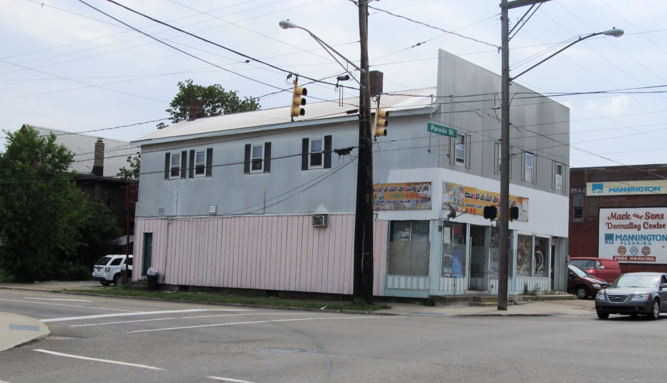
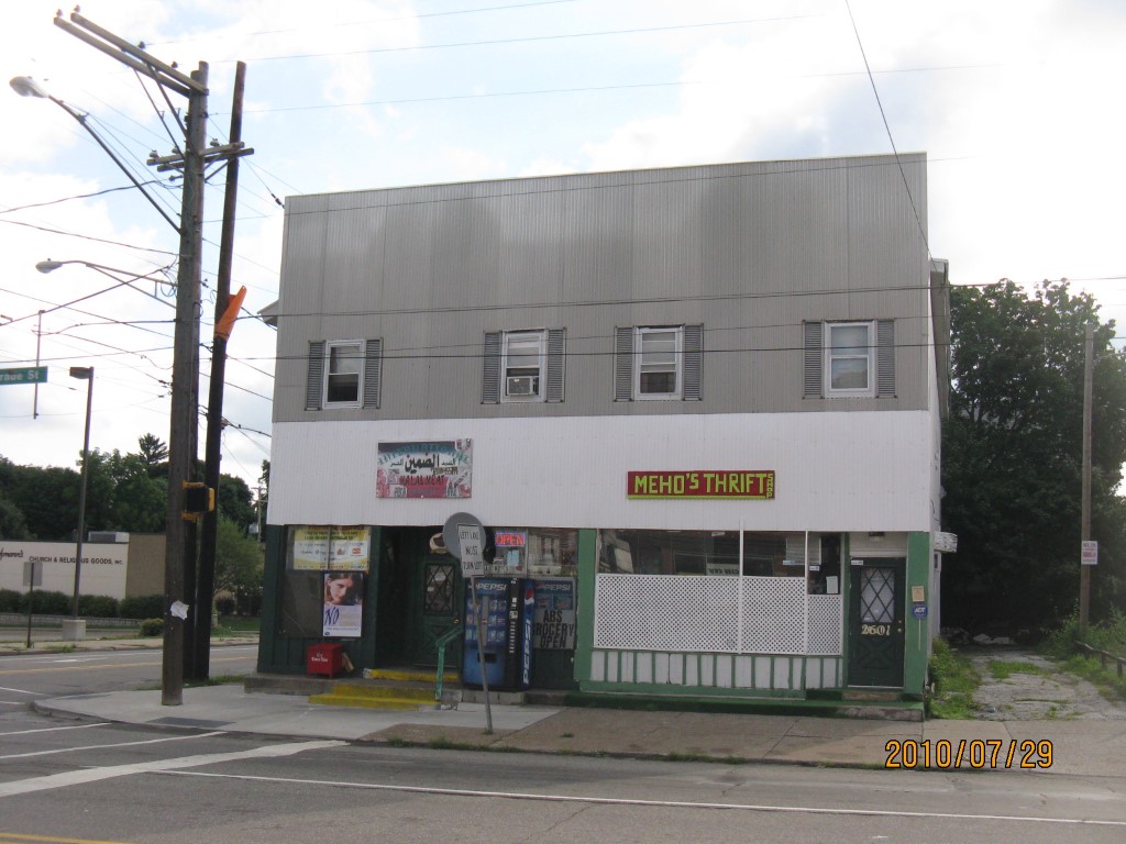
Address: 2601 03 PARADE ST
Parcel: 18050077021500
Parcel Profile
Address
2601 | 03 | PARADE | ST
Street Status
PAVED | SIDEWALK
School District
CITY OF ERIE SCHOOL
Acreage
0.1090
Classification
C
Land Use Code
RESTAURANTS, STORES (RETAIL)
Legal Description
2601 03 PARADE ST 50 X 95
Square Feet
4332
Topo
LEVEL
Utility
ALL PUBLIC
Zoning
Please contact your municipal zoning officer
Deed Book
2023
Deed Page
008333
2026 Tax Values
Land Value / Taxable
14,200 / 14,200.00
Building Value / Taxable
54,200 / 54,200.00
Total Value / Taxable
68,400 / 68,400.00
Clean & Green
Inactive
Homestead Status
Inactive
Farmstead Status
Inactive
Lerta Amount
0
Lerta Expiration Year
0
Commercial Data
Card 1
MIXED RES/COMM
Business Living Area - 4332
Year Built - 1872
Improvement Name - MEHO'S THRIFT SHOP
Value - 54200
Other Buildings & Yards
No OBY Data Found
Sales History
Sale Date
Type
Price
Book / Page
Other Info
5/31/2023
LAND & BUILDING
88000
2023 / 008333
SPECIAL WARRANTY DEED
4/7/2021
LAND & BUILDING
90000
2021 / 008350
SPECIAL WARRANTY DEED
12/12/2017
LAND & BUILDING
5000
2017 / 026931
SPECIAL WARRANTY DEED
11/25/2015
LAND & BUILDING
60000
2015 / 026095
SPECIAL WARRANTY DEED
1/6/2012
LAND & BUILDING
70000
2012 / 000527
SPECIAL WARRANTY DEED
12/30/1999
LAND & BUILDING
55000
681 / 1460
1/1/1999
LAND & BUILDING
55000
/
Parcel Sketches
Commercial Card 1
A
MAIN
2166 square feet
B
MAIN
2166 square feet
C
MAIN
2166 square feet
Parcel Images
Please note:
this tab is for informational purposes only and may not show all delinquencies, see the Taxes tab for more accurate delinquent taxes due.