Elected Officials
Courts
Departments
Initiatives
Open Government
About
Login / Register
Home
/
Property & Tax Records
/
Property Records
/
Property & Tax Search
/
Parcel Profile
/
Print View
Search for Another Parcel
Parcel Profile
Historical Card
Sketches
Photos
Tax Map
Taxes
Print View
Print This Page
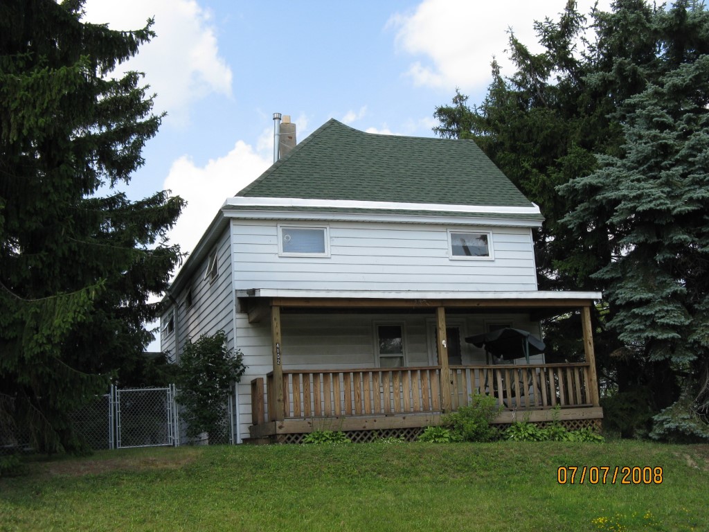
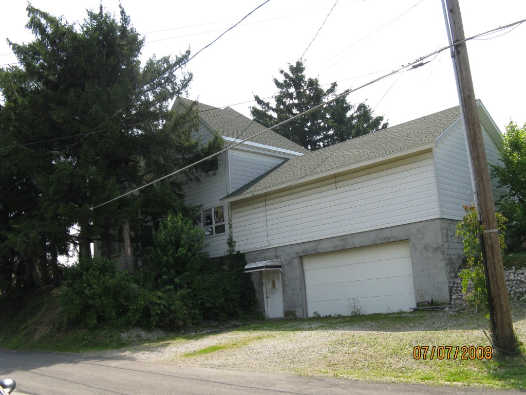
Address: 4102 DAVISON AVE
Parcel: 18052020011200
Parcel Profile
Address
4102 | DAVISON | AVE
Street Status
PAVED
School District
CITY OF ERIE SCHOOL
Acreage
0.3333
Classification
R
Land Use Code
SINGLE FAMILY
Legal Description
4102 DAVISON AVE 110 X 132
Square Feet
3168
Topo
ABOVE STREET
Utility
ALL PUBLIC
Zoning
Please contact your municipal zoning officer
Deed Book
2025
Deed Page
022200
2026 Tax Values
Land Value / Taxable
21,800 / 21,800.00
Building Value / Taxable
73,400 / 73,400.00
Total Value / Taxable
95,200 / 95,200.00
Clean & Green
Inactive
Homestead Status
Active
Farmstead Status
Inactive
Lerta Amount
0
Lerta Expiration Year
0
Residential Data
Card 1
Style
OLD STYLE
Basement
PART
Year Built
1900
Exterior Wall
ALUMINUM/VINYL
Total Living Area
3168
Full Baths
1
Half Baths
1
Fuel Type
GAS
Heating
CENTRAL
Heating System
FORCED AIR
Stories
2.0
Total Bedrooms
4
Total Family Rooms
0
Total Rooms
9
Fireplaces
0
Other Buildings & Yards
No OBY Data Found
Sales History
Sale Date
Type
Price
Book / Page
Other Info
12/12/2025
LAND & BUILDING
91000
2025 / 022200
FIDUCIARY DEED
1/12/1973
0
1087 / 0472
Parcel Sketches
Residential Card 1
A
MAIN
1008 square feet
B
OFP OPEN FRAME PORCH
168 square feet
C
EFP ENCL FRAME PORCH
16 square feet
D
1S FR ONE STORY FRAME
432 square feet
E
FR GR FRAME GARAGE 1S FR ONE STORY FRAME
720 square feet
Parcel Images
Please note:
this tab is for informational purposes only and may not show all delinquencies, see the Taxes tab for more accurate delinquent taxes due.