Elected Officials
Courts
Departments
Initiatives
Open Government
About
Login / Register
Home
/
Property & Tax Records
/
Property Records
/
Property & Tax Search
/
Parcel Profile
/
Print View
Search for Another Parcel
Parcel Profile
Historical Card
Sketches
Photos
Tax Map
Taxes
Print View
Print This Page
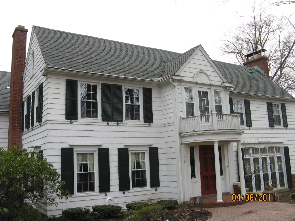
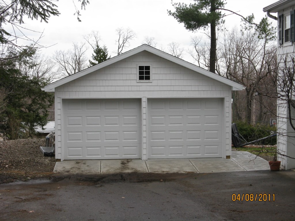
Address: 300 HILLTOP RD
Parcel: 18053022020000
Parcel Profile
Address
300 | HILLTOP | RD
Street Status
PAVED
School District
CITY OF ERIE SCHOOL
Acreage
0.4500
Classification
R
Land Use Code
SINGLE FAMILY
Legal Description
300 HILLTOP RD IRREG
Square Feet
4554
Topo
LEVEL
Utility
ALL PUBLIC
Zoning
Please contact your municipal zoning officer
Deed Book
0580
Deed Page
1923
2026 Tax Values
Land Value / Taxable
57,700 / 57,700.00
Building Value / Taxable
246,940 / 246,940.00
Total Value / Taxable
304,640 / 304,640.00
Clean & Green
Inactive
Homestead Status
Inactive
Farmstead Status
Inactive
Lerta Amount
0.00
Lerta Expiration Year
2015
Residential Data
Card 1
Style
COLONIAL
Basement
FULL
Year Built
1929
Exterior Wall
FRAME
Total Living Area
4554
Full Baths
2
Half Baths
2
Fuel Type
GAS
Heating
CENTRAL A/C
Heating System
FORCED AIR
Stories
2.0
Total Bedrooms
5
Total Family Rooms
1
Total Rooms
11
Fireplaces
5
Other Buildings & Yards
No OBY Data Found
Sales History
Sale Date
Type
Price
Book / Page
Other Info
8/14/1998
0
0580 / 1923
Parcel Sketches
Residential Card 1
A
MAIN
1460 square feet
B
UNFIN BSMT BASEMENT UNFINISHED 1S FR ONE STORY FRAME
1050 square feet
C
WDDCK WOOD DECKS
123 square feet
D
OFP OPEN FRAME PORCH
140 square feet
E
1S FR ONE STORY FRAME
52 square feet
F
UNFIN BSMT BASEMENT UNFINISHED MA_PT CONC/MAS PATIO
96 square feet
G
UNFIN BSMT BASEMENT UNFINISHED OMP OPEN MASONRY PORCH
240 square feet
H
OFP OPEN FRAME PORCH
40 square feet
Parcel Images
Please note:
this tab is for informational purposes only and may not show all delinquencies, see the Taxes tab for more accurate delinquent taxes due.