Elected Officials
Courts
Departments
Initiatives
Open Government
About
Login / Register
Home
/
Property & Tax Records
/
Property Records
/
Property & Tax Search
/
Parcel Profile
/
Print View
Search for Another Parcel
Parcel Profile
Historical Card
Sketches
Photos
Tax Map
Taxes
Print View
Print This Page
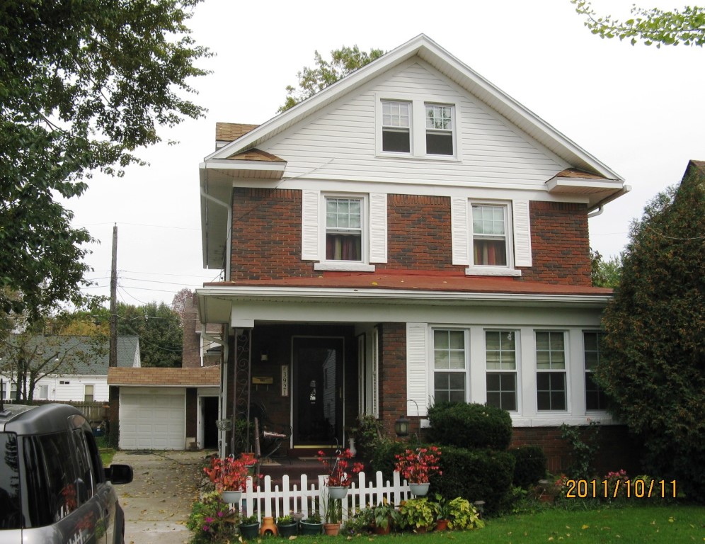
Address: 3921 MYRTLE ST
Parcel: 18053039021400
Parcel Profile
Address
3921 | MYRTLE | ST
Street Status
PAVED
School District
CITY OF ERIE SCHOOL
Acreage
0.1699
Classification
R
Land Use Code
SINGLE FAMILY
Legal Description
3921 MYRTLE ST 74 X 100
Square Feet
1856
Topo
LEVEL
Utility
ALL PUBLIC
Zoning
Please contact your municipal zoning officer
Deed Book
0110
Deed Page
0569
2026 Tax Values
Land Value / Taxable
42,900 / 42,900.00
Building Value / Taxable
104,730 / 104,730.00
Total Value / Taxable
147,630 / 147,630.00
Clean & Green
Inactive
Homestead Status
Active
Farmstead Status
Inactive
Lerta Amount
0.00
Lerta Expiration Year
2016
Residential Data
Card 1
Style
CONVENTIONAL
Basement
FULL
Year Built
1928
Exterior Wall
BRICK
Total Living Area
1856
Full Baths
2
Half Baths
0
Fuel Type
GAS
Heating
CENTRAL
Heating System
FORCED AIR
Stories
2.0
Total Bedrooms
5
Total Family Rooms
0
Total Rooms
9
Fireplaces
0
Other Buildings & Yards
No OBY Data Found
Sales History
Sale Date
Type
Price
Book / Page
Other Info
1/11/1990
0
0110 / 0569
Parcel Sketches
Residential Card 1
A
MAIN
720 square feet
B
EMP ENCL MASONRY PORCH
60 square feet
C
WDDCK WOOD DECKS
506 square feet
D
UNFIN BSMT BASEMENT UNFINISHED 1SMAS MASONRY
128 square feet
E
UNFIN BSMT BASEMENT UNFINISHED OMP OPEN MASONRY PORCH
64 square feet
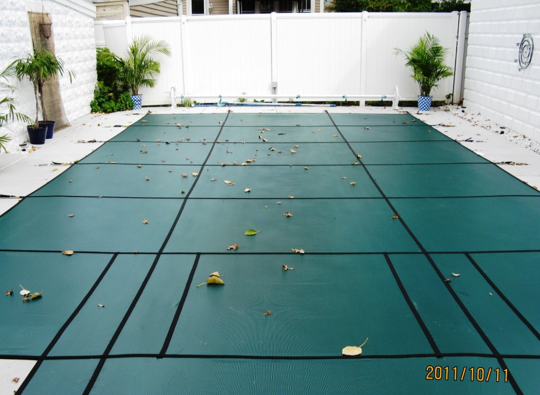
Parcel Images
Please note:
this tab is for informational purposes only and may not show all delinquencies, see the Taxes tab for more accurate delinquent taxes due.