Elected Officials
Courts
Departments
Initiatives
Open Government
About
Login / Register
Home
/
Property & Tax Records
/
Property Records
/
Property & Tax Search
/
Parcel Profile
/
Print View
Search for Another Parcel
Parcel Profile
Historical Card
Sketches
Photos
Tax Map
Taxes
Print View
Print This Page
Address: W 20 ST
Parcel: 19060006021700
Parcel Profile
Address
0 | W | 20 | ST
Street Status
PAVED | SIDEWALK
School District
CITY OF ERIE SCHOOL
Acreage
0.0597
Classification
R
Land Use Code
RES VACANT
Legal Description
W 20 ST SE COR ET MYRTLE STS
Topo
LEVEL
Utility
ALL PUBLIC
Zoning
Please contact your municipal zoning officer
Deed Book
2026
Deed Page
007481
2026 Tax Values
Land Value / Taxable
7,600 / 7,600.00
Building Value / Taxable
0 / 0.00
Total Value / Taxable
7,600 / 7,600.00
Clean & Green
Inactive
Homestead Status
Inactive
Farmstead Status
Inactive
Lerta Amount
0
Lerta Expiration Year
0
Other Buildings & Yards
No OBY Data Found
Sales History
Sale Date
Type
Price
Book / Page
Other Info
5/6/2026
LAND
0
2026 / 007481
QUIT CLAIM DEED
4/18/2024
LAND
250
2024 / 005748
TAX DEED
6/12/2006
LAND
500
1336 / 0117
WARRANTY/SURVIVORSHIP DEED
8/17/2000
0
0721 / 0774
Parcel Sketches
Invalid Parcel Number or No Sketches on File
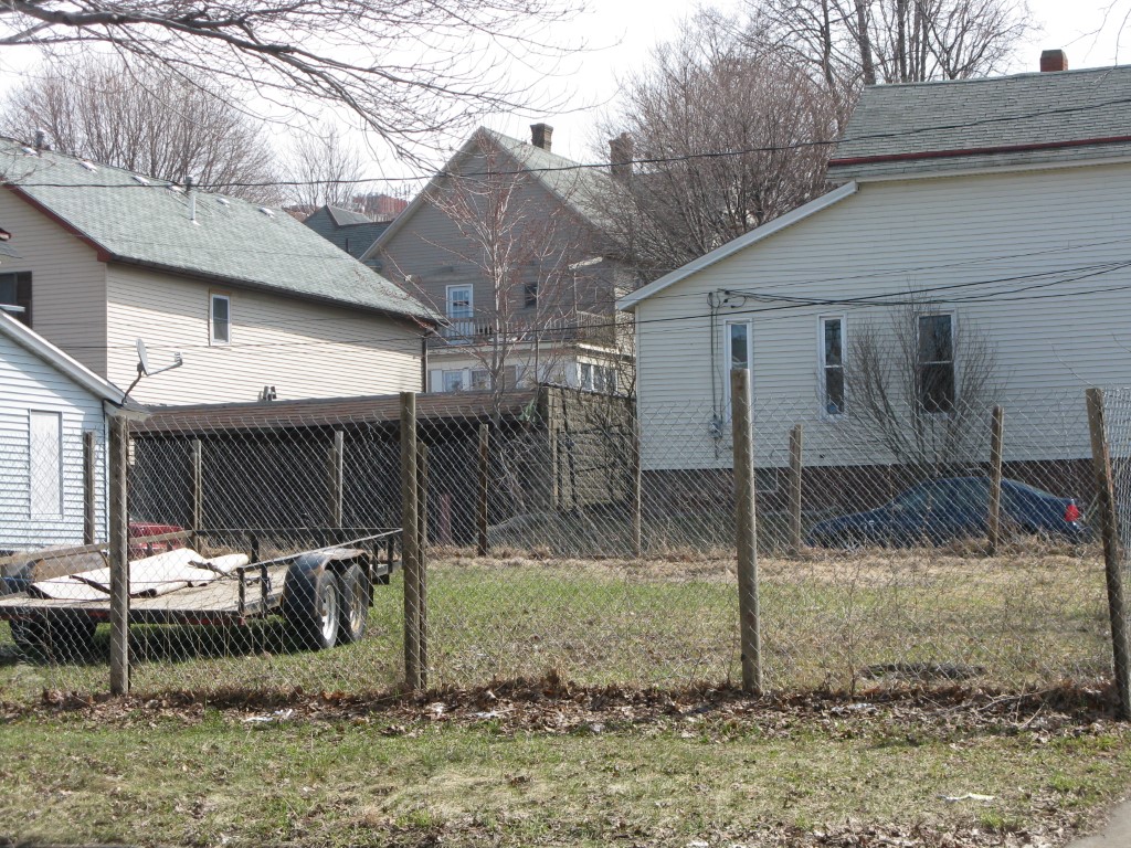
Parcel Images
Please note:
this tab is for informational purposes only and may not show all delinquencies, see the Taxes tab for more accurate delinquent taxes due.