Elected Officials
Courts
Departments
Initiatives
Open Government
About
Login / Register
Home
/
Property & Tax Records
/
Property Records
/
Property & Tax Search
/
Parcel Profile
/
Print View
Search for Another Parcel
Parcel Profile
Historical Card
Sketches
Photos
Tax Map
Taxes
Print View
Print This Page
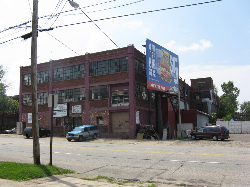
Address: 1926 LIBERTY ST
Parcel: 19060020040200
Parcel Profile
Address
1926 | LIBERTY | ST
Street Status
PAVED | SIDEWALK
School District
CITY OF ERIE SCHOOL
Acreage
0.3661
Classification
C
Land Use Code
WAREHOUSES
Legal Description
1926 LIBERTY ST 169.12 X 94.30
Square Feet
50634
Topo
LEVEL
Utility
ALL PUBLIC
Zoning
Please contact your municipal zoning officer
Deed Book
2022
Deed Page
010091
2026 Tax Values
Land Value / Taxable
0 / 0.00
Building Value / Taxable
0 / 0.00
Total Value / Taxable
0 / 0.00
Clean & Green
Inactive
Homestead Status
Inactive
Farmstead Status
Inactive
Lerta Amount
0
Lerta Expiration Year
0
Commercial Data
Card 1
MFG/PROCESSING
Business Living Area - 50634
Year Built - 1900
Improvement Name - ANDY'S EQUIPMENT
Value - 203330
Other Buildings & Yards
No OBY Data Found
Sales History
Sale Date
Type
Price
Book / Page
Other Info
5/12/2022
LAND & BUILDING
0
2022 / 010091
SPECIAL WARRANTY DEED
3/2/2021
LAND & BUILDING
100000
2021 / 004873
SPECIAL WARRANTY DEED
4/21/2005
LAND & BUILDING
169900
1227 / 0372
WARRANTY/SURVIVORSHIP DEED
5/4/2004
LAND & BUILDING
0
1131 / 2043
QUIT CLAIM DEED
6/12/1985
0
1583 / 0306
Parcel Sketches
Commercial Card 1
A
MAIN
13428 square feet
B
MAIN
13428 square feet
C
MAIN
12150 square feet
D
MAIN
11628 square feet
Parcel Images
Please note:
this tab is for informational purposes only and may not show all delinquencies, see the Taxes tab for more accurate delinquent taxes due.