Elected Officials
Courts
Departments
Initiatives
Open Government
About
Login / Register
Home
/
Property & Tax Records
/
Property Records
/
Property & Tax Search
/
Parcel Profile
/
Print View
Search for Another Parcel
Parcel Profile
Historical Card
Sketches
Photos
Tax Map
Taxes
Print View
Print This Page
Address: 903 W 18 ST
Parcel: 19060025020300
Parcel Profile
Address
903 | W | 18 | ST
Street Status
PAVED
School District
CITY OF ERIE SCHOOL
Acreage
0.1492
Classification
C
Land Use Code
RESTAURANTS, STORES (RETAIL)
Legal Description
903 W 18 ST 50 X 130
Square Feet
4064
Topo
LEVEL
Utility
ALL PUBLIC
Zoning
Please contact your municipal zoning officer
Deed Book
2016
Deed Page
002900
2026 Tax Values
Land Value / Taxable
16,300 / 16,300.00
Building Value / Taxable
56,605 / 56,605.00
Total Value / Taxable
72,905 / 72,905.00
Clean & Green
Inactive
Homestead Status
Inactive
Farmstead Status
Inactive
Lerta Amount
0
Lerta Expiration Year
0
Commercial Data
Card 1
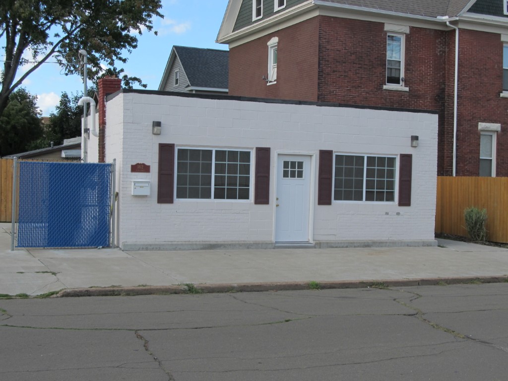
RETAIL SINGLE OCCUP
Business Living Area - 416
Year Built - 1946
Improvement Name - OFFICE
Value - 12280
Card 2
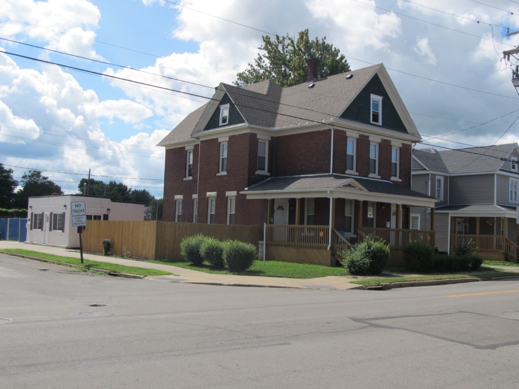
RESIDENTIAL 2 FAMILY
Business Living Area - 3648
Year Built - 1900
Improvement Name - APT. BLDG. - RES.
Value - 93760
Other Buildings & Yards
No OBY Data Found
Sales History
Sale Date
Type
Price
Book / Page
Other Info
2/11/2016
LAND & BUILDING
76500
2016 / 002900
SPECIAL WARRANTY DEED
1/29/2013
LAND
7500
2013 / 002269
DEED
4/9/2012
LAND & BUILDING
8000
2012 / 008536
WARRANTY/SURVIVORSHIP DEED
11/12/2010
LAND & BUILDING
0
2010 / 028380
SPECIAL WARRANTY DEED
6/9/1977
0
1266 / 0487
Parcel Sketches
Commercial Card 1
A
MAIN
416 square feet
Commercial Card 2
A
MAIN
1216 square feet
B
MAIN
1216 square feet
C
MAIN
1216 square feet
D
MAIN
912 square feet
Parcel Images
Please note:
this tab is for informational purposes only and may not show all delinquencies, see the Taxes tab for more accurate delinquent taxes due.