Elected Officials
Courts
Departments
Initiatives
Open Government
About
Login / Register
Home
/
Property & Tax Records
/
Property Records
/
Property & Tax Search
/
Parcel Profile
/
Print View
Search for Another Parcel
Parcel Profile
Historical Card
Sketches
Photos
Tax Map
Taxes
Print View
Print This Page
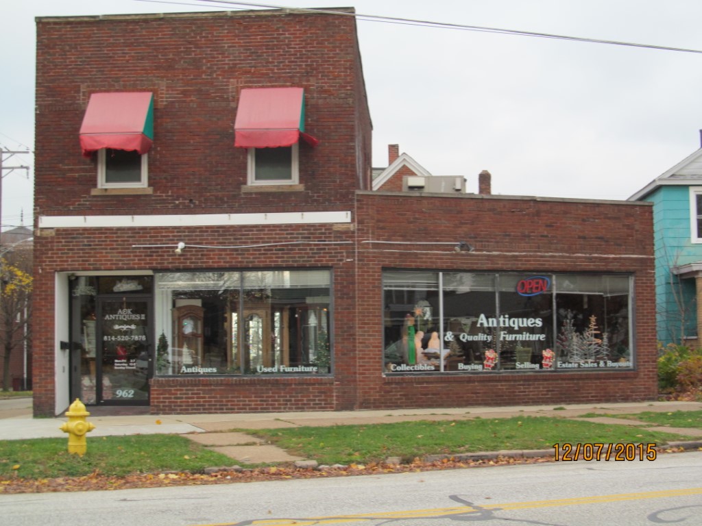
Address: 962 BROWN AVE ST
Parcel: 19060026012900
Parcel Profile
Address
962 | BROWN AVE | ST
Street Status
PAVED | SIDEWALK
School District
CITY OF ERIE SCHOOL
Acreage
0.0570
Classification
C
Land Use Code
RESTAURANTS, STORES (RETAIL)
Legal Description
962 BROWN AVE 47.64 X 67.13 IRR
Square Feet
2760
Topo
LEVEL
Utility
ALL PUBLIC
Zoning
Please contact your municipal zoning officer
Deed Book
2019
Deed Page
012591
2026 Tax Values
Land Value / Taxable
6,200 / 6,200.00
Building Value / Taxable
36,800 / 36,800.00
Total Value / Taxable
43,000 / 43,000.00
Clean & Green
Inactive
Homestead Status
Inactive
Farmstead Status
Inactive
Lerta Amount
0
Lerta Expiration Year
0
Commercial Data
Card 1
MIXED RES/COMM
Business Living Area - 2760
Year Built - 1928
Improvement Name - UNCLE TOMS ANTIQUES
Value - 60590
Other Buildings & Yards
No OBY Data Found
Sales History
Sale Date
Type
Price
Book / Page
Other Info
7/2/2019
LAND & BUILDING
60000
2019 / 012591
FIDUCIARY DEED
5/13/2015
LAND & BUILDING
43000
2015 / 009417
SPECIAL WARRANTY DEED
2/3/2009
LAND & BUILDING
50000
1541 / 2232
CORPORATE DEED
10/30/2008
LAND & BUILDING
0
1528 / 2142
SHERIFF'S DED
6/7/2005
LAND & BUILDING
60000
1240 / 1290
FIDUCIARY DEED
Parcel Sketches
Commercial Card 1
A
MAIN
920 square feet
B
MAIN
920 square feet
C
MAIN
920 square feet
D
MAIN
920 square feet
E
MAIN
920 square feet
Parcel Images
Please note:
this tab is for informational purposes only and may not show all delinquencies, see the Taxes tab for more accurate delinquent taxes due.