Elected Officials
Courts
Departments
Initiatives
Open Government
About
Login / Register
Home
/
Property & Tax Records
/
Property Records
/
Property & Tax Search
/
Parcel Profile
/
Print View
Search for Another Parcel
Parcel Profile
Historical Card
Sketches
Photos
Tax Map
Taxes
Print View
Print This Page
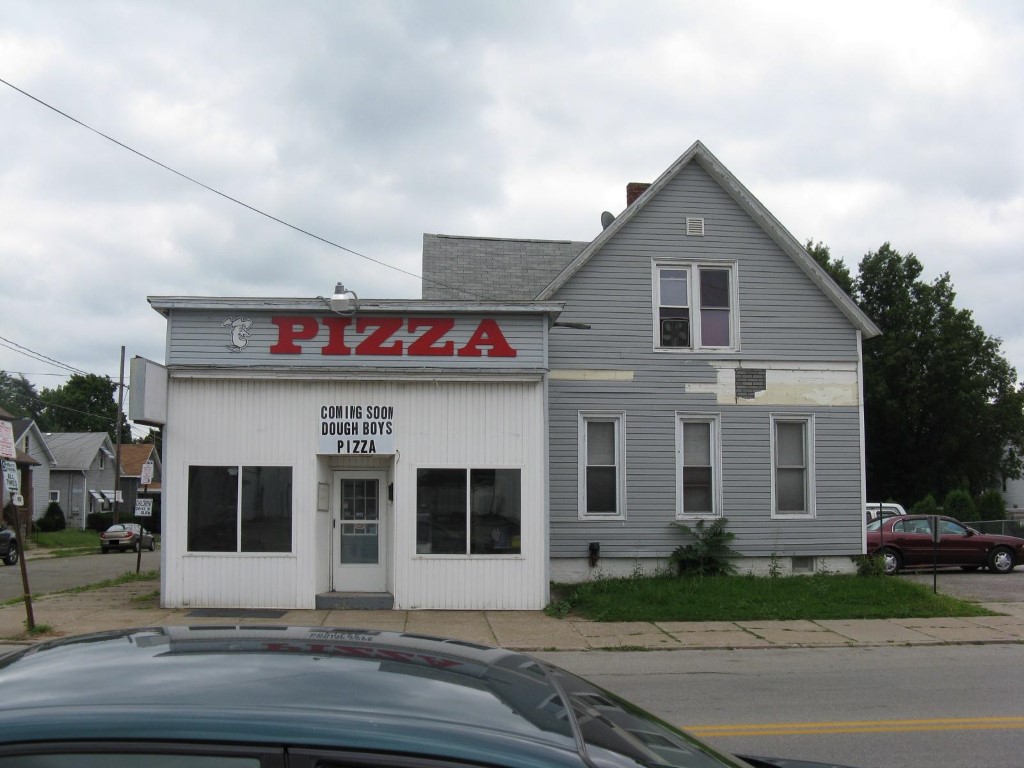
Address: 653 W 26 ST
Parcel: 19060043032000
Parcel Profile
Address
653 | W | 26 | ST
Street Status
PAVED | SIDEWALK
School District
CITY OF ERIE SCHOOL
Acreage
0.1253
Classification
C
Land Use Code
RESTAURANTS, STORES (RETAIL)
Legal Description
653 W 26 ST 45.5X120
Square Feet
3737
Topo
LEVEL
Utility
ALL PUBLIC
Zoning
Please contact your municipal zoning officer
Deed Book
1438
Deed Page
2124
2026 Tax Values
Land Value / Taxable
16,400 / 16,400.00
Building Value / Taxable
64,500 / 64,500.00
Total Value / Taxable
80,900 / 80,900.00
Clean & Green
Inactive
Homestead Status
Inactive
Farmstead Status
Inactive
Lerta Amount
0
Lerta Expiration Year
0
Commercial Data
Card 1
MIXED RESIDENTIAL/COMMERCIAL
Business Living Area - 3737
Year Built - 1885
Improvement Name - FLIPS PIZZA
Value - 60780
Other Buildings & Yards
Description
Built
Width
Length
Area
FRAME OR CB DETACHED GARAGE
1900
18
20
360
FRAME UTILITY SHED
1900
5
8
40
Sales History
Sale Date
Type
Price
Book / Page
Other Info
8/10/2007
LAND & BUILDING
85000
1438 / 2124
SPECIAL WARRANTY DEED
7/27/1999
0
0651 / 2284
7/19/1999
LAND & BUILDING
64000
650 / 397
Parcel Sketches
Commercial Card 1
A
MAIN
624 square feet
B
MAIN
1132 square feet
C
MAIN
1132 square feet
D
MAIN
849 square feet
Parcel Images
Please note:
this tab is for informational purposes only and may not show all delinquencies, see the Taxes tab for more accurate delinquent taxes due.