Elected Officials
Courts
Departments
Initiatives
Open Government
About
Login / Register
Home
/
Property & Tax Records
/
Property Records
/
Property & Tax Search
/
Parcel Profile
/
Print View
Search for Another Parcel
Parcel Profile
Historical Card
Sketches
Photos
Tax Map
Taxes
Print View
Print This Page
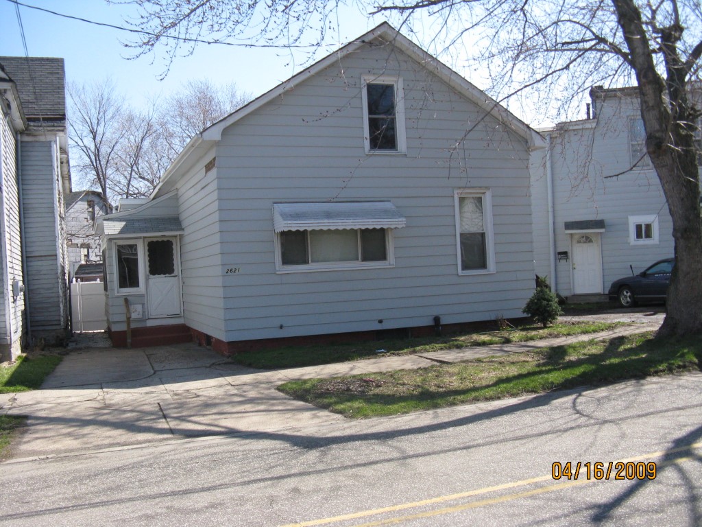
Address: 2621 MYRTLE ST
Parcel: 19060053032700
Parcel Profile
Address
2621 | MYRTLE | ST
Street Status
PAVED | SIDEWALK
School District
CITY OF ERIE SCHOOL
Acreage
0.0584
Classification
R
Land Use Code
SINGLE FAMILY
Legal Description
2621 MYRTLE ST 35XIRR
Square Feet
1350
Topo
LEVEL
Utility
ALL PUBLIC
Zoning
Please contact your municipal zoning officer
Deed Book
1405
Deed Page
2303
2026 Tax Values
Land Value / Taxable
9,500 / 9,500.00
Building Value / Taxable
40,400 / 40,400.00
Total Value / Taxable
49,900 / 49,900.00
Clean & Green
Inactive
Homestead Status
Inactive
Farmstead Status
Inactive
Lerta Amount
0
Lerta Expiration Year
0
Residential Data
Card 1
Style
BUNGALOW
Basement
FULL
Year Built
1897
Exterior Wall
ALUMINUM/VINYL
Total Living Area
1350
Full Baths
1
Half Baths
0
Fuel Type
GAS
Heating
CENTRAL A/C
Heating System
FORCED AIR
Stories
1.0
Total Bedrooms
3
Total Family Rooms
0
Total Rooms
5
Fireplaces
0
Other Buildings & Yards
No OBY Data Found
Sales History
Sale Date
Type
Price
Book / Page
Other Info
4/3/2007
LAND & BUILDING
37500
1405 / 2303
WARRANTY/SURVIVORSHIP DEED
6/16/2004
LAND & BUILDING
24000
1145 / 2021
DEED
12/22/2003
LAND & BUILDING
0
1096 / 0590
SHERIFF'S DED
3/3/1989
0
0079 / 1020
Parcel Sketches
Residential Card 1
A
MAIN
704 square feet
B
EFP ENCL FRAME PORCH
84 square feet
C
UNFIN BSMT BASEMENT UNFINISHED 1S FR ONE STORY FRAME
364 square feet
Parcel Images
Please note:
this tab is for informational purposes only and may not show all delinquencies, see the Taxes tab for more accurate delinquent taxes due.