Elected Officials
Courts
Departments
Initiatives
Open Government
About
Login / Register
Home
/
Property & Tax Records
/
Property Records
/
Property & Tax Search
/
Parcel Profile
/
Print View
Search for Another Parcel
Parcel Profile
Historical Card
Sketches
Photos
Tax Map
Taxes
Print View
Print This Page
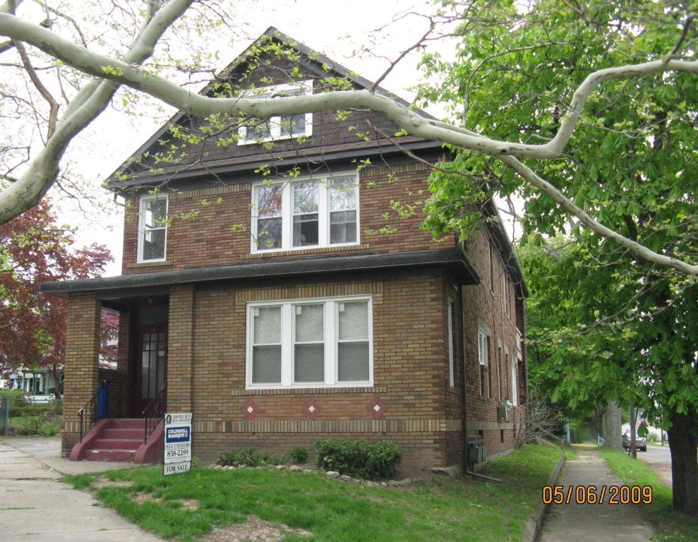
Address: 1202 BROWN AVE
Parcel: 19062002020300
Parcel Profile
Address
1202 | BROWN | AVE
Street Status
PAVED
School District
CITY OF ERIE SCHOOL
Acreage
0.1366
Classification
A
Land Use Code
APARTMENTS 4 - 19 UNITS
Legal Description
1202 BROWN AVE 50X118 AV
Square Feet
4834
Topo
LEVEL
Utility
ALL PUBLIC
Zoning
Please contact your municipal zoning officer
Deed Book
2023
Deed Page
011518
2026 Tax Values
Land Value / Taxable
14,900 / 14,900.00
Building Value / Taxable
60,100 / 60,100.00
Total Value / Taxable
75,000 / 75,000.00
Clean & Green
Inactive
Homestead Status
Inactive
Farmstead Status
Inactive
Lerta Amount
0
Lerta Expiration Year
0
Commercial Data
Card 1
RESIDENTIAL 4 FAMILY
Business Living Area - 4834
Year Built - 1926
Improvement Name - APARTMENT
Value - 92500
Other Buildings & Yards
Description
Built
Width
Length
Area
BRICK OR STONE DETACHED GAR.
1926
20
20
400
Sales History
Sale Date
Type
Price
Book / Page
Other Info
7/17/2023
LAND & BUILDING
0
2023 / 011518
QUIT CLAIM DEED
3/24/2021
LAND & BUILDING
85000
2021 / 006924
SPECIAL WARRANTY DEED
7/21/2009
LAND & BUILDING
114000
1578 / 1501
SPECIAL WARRANTY DEED
8/20/2003
LAND & BUILDING
0
1053 / 1166
QUIT CLAIM DEED
4/14/1997
0
0492 / 1325
Parcel Sketches
Commercial Card 1
A
MAIN
1352 square feet
B
MAIN
1454 square feet
C
MAIN
1352 square feet
D
MAIN
676 square feet
Parcel Images
Please note:
this tab is for informational purposes only and may not show all delinquencies, see the Taxes tab for more accurate delinquent taxes due.