Elected Officials
Courts
Departments
Initiatives
Open Government
About
Login / Register
Home
/
Property & Tax Records
/
Property Records
/
Property & Tax Search
/
Parcel Profile
/
Print View
Search for Another Parcel
Parcel Profile
Historical Card
Sketches
Photos
Tax Map
Taxes
Print View
Print This Page
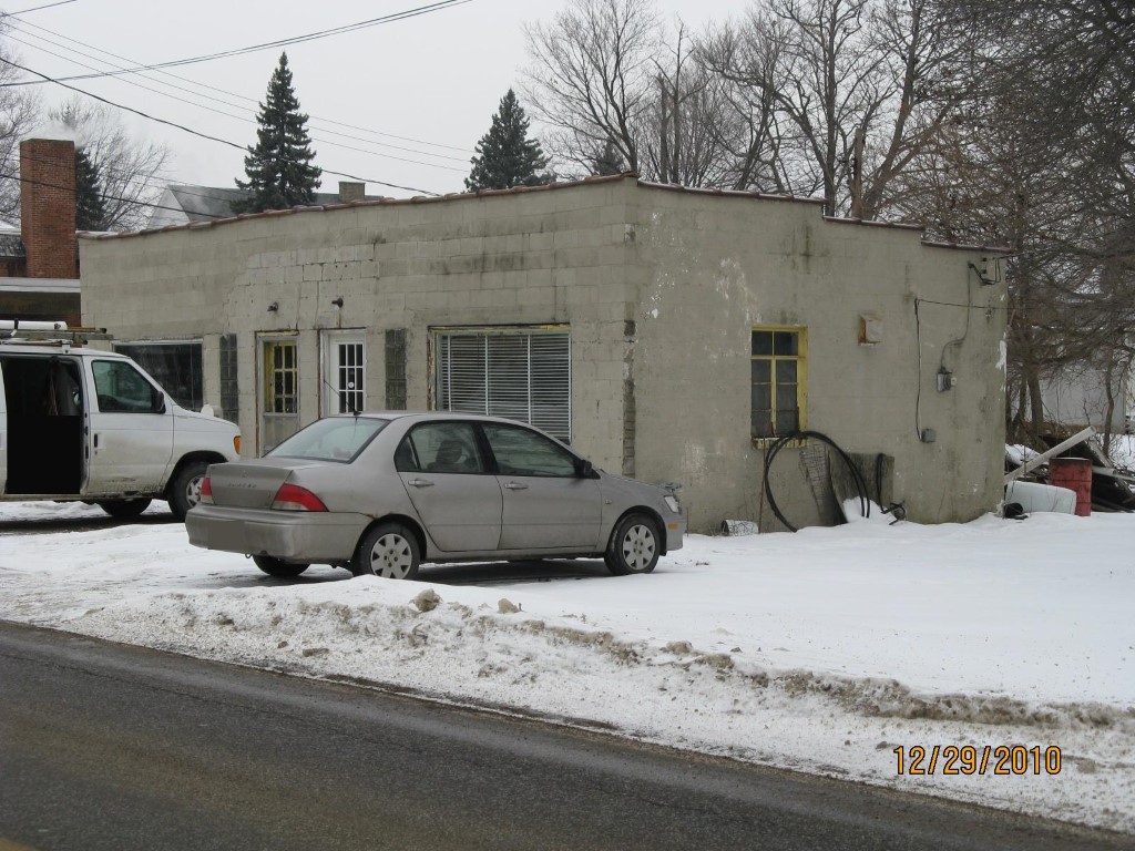
Address: 25 27 WALNUT ST
Parcel: 23015048000400
Parcel Profile
Address
25 | 27 | WALNUT | ST
Street Status
PAVED
School District
GIRARD SCHOOL
Acreage
0.1691
Classification
C
Land Use Code
WAREHOUSES
Legal Description
25 27 WALNUT ST | 63.5X116.01
Square Feet
1016
Topo
LEVEL
Utility
ALL PUBLIC
Zoning
Please contact your municipal zoning officer
Deed Book
2019
Deed Page
011770
2026 Tax Values
Land Value / Taxable
21,900 / 21,900.00
Building Value / Taxable
11,300 / 11,300.00
Total Value / Taxable
33,200 / 33,200.00
Clean & Green
Inactive
Homestead Status
Inactive
Farmstead Status
Inactive
Lerta Amount
0
Lerta Expiration Year
0
Commercial Data
Card 1
WAREHOUSE
Business Living Area - 1016
Year Built - 1950
Improvement Name - LLOYD BRONDELL PLUMBING
Value - 11310
Other Buildings & Yards
No OBY Data Found
Sales History
Sale Date
Type
Price
Book / Page
Other Info
6/21/2019
LAND & BUILDING
10500
2019 / 011770
SPECIAL WARRANTY DEED
11/5/2004
LAND & BUILDING
0
1187 / 1927
WARRANTY/SURVIVORSHIP DEED
2/10/2004
LAND & BUILDING
0
1106 / 2088
WARRANTY/SURVIVORSHIP DEED
8/19/1998
LAND & BUILDING
20000
581 / 1968
Parcel Sketches
Commercial Card 1
A
MAIN
1016 square feet
Parcel Images
Please note:
this tab is for informational purposes only and may not show all delinquencies, see the Taxes tab for more accurate delinquent taxes due.