Elected Officials
Courts
Departments
Initiatives
Open Government
About
Login / Register
Home
/
Property & Tax Records
/
Property Records
/
Property & Tax Search
/
Parcel Profile
/
Print View
Search for Another Parcel
Parcel Profile
Historical Card
Sketches
Photos
Tax Map
Taxes
Print View
Print This Page
Address: 10020 JONES RD
Parcel: 25005020000600
Parcel Profile
Address
10020 | JONES | RD
Street Status
PAVED
School District
WATTSBURG SCHOOL
Acreage
25.9000
Classification
F
Land Use Code
20 - 79.99 ACRES
Legal Description
10020 JONES RD 25.90 AC
Square Feet
1320
Topo
LEVEL
Utility
GAS | WELL | SEPTIC
Zoning
Please contact your municipal zoning officer
Deed Book
2020
Deed Page
010098
2026 Tax Values
Land Value / Taxable
59,900 / 47,100.00
Building Value / Taxable
147,600 / 147,600.00
Total Value / Taxable
207,500 / 194,700.00
Clean & Green
Active
Homestead Status
Active
Farmstead Status
Inactive
Lerta Amount
0
Lerta Expiration Year
0
Residential Data
Card 1
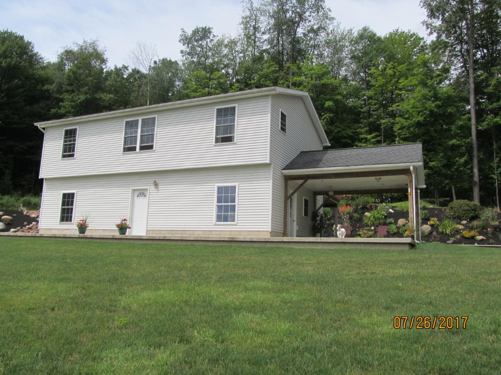
Style
RAISED RANCH
Basement
NONE
Year Built
2005
Exterior Wall
ALUMINUM/VINYL
Total Living Area
1320
Full Baths
1
Half Baths
1
Fuel Type
OIL
Heating
CENTRAL
Heating System
FORCED AIR
Stories
1.0
Total Bedrooms
2
Total Family Rooms
0
Total Rooms
5
Fireplaces
0
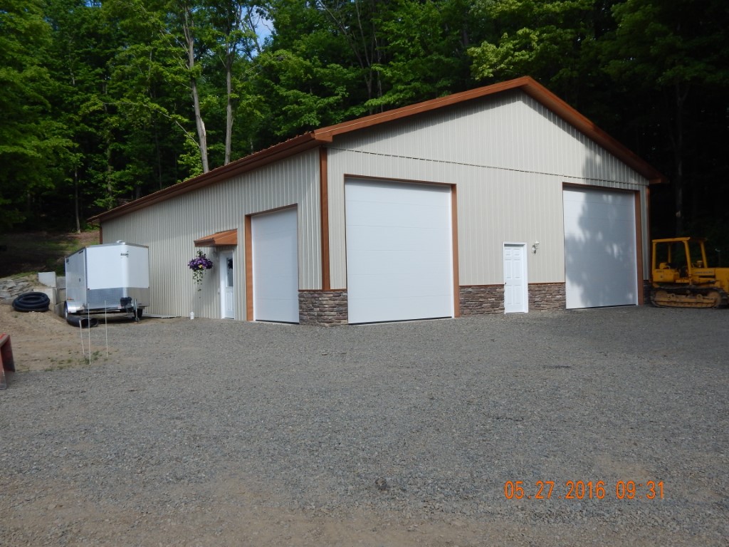
Other Buildings & Yards
No OBY Data Found
Sales History
Sale Date
Type
Price
Book / Page
Other Info
6/8/2020
LAND & BUILDING
0
2020 / 010098
SPECIAL WARRANTY DEED
1/11/2013
LAND & BUILDING
177006
2013 / 000919
DEED
9/25/2012
LAND & BUILDING
1435
2012 / 026345
SHERIFF'S DED
6/24/2005
LAND
0
1245 / 0681
WARRANTY/SURVIVORSHIP DEED
3/16/2001
LAND
160000
0758 / 1858
Parcel Sketches
Residential Card 1
A
MAIN
960 square feet
B
OFP OPEN FRAME PORCH
224 square feet
C
FROVR FRAME OVERHANG
40 square feet
D
1S FR ONE STORY FRAME
320 square feet
E
WDDCK WOOD DECKS
240 square feet
F
FR GR FRAME GARAGE
640 square feet
Parcel Images
Please note:
this tab is for informational purposes only and may not show all delinquencies, see the Taxes tab for more accurate delinquent taxes due.