Elected Officials
Courts
Departments
Initiatives
Open Government
About
Login / Register
Home
/
Property & Tax Records
/
Property Records
/
Property & Tax Search
/
Parcel Profile
/
Print View
Search for Another Parcel
Parcel Profile
Historical Card
Sketches
Photos
Tax Map
Taxes
Print View
Print This Page
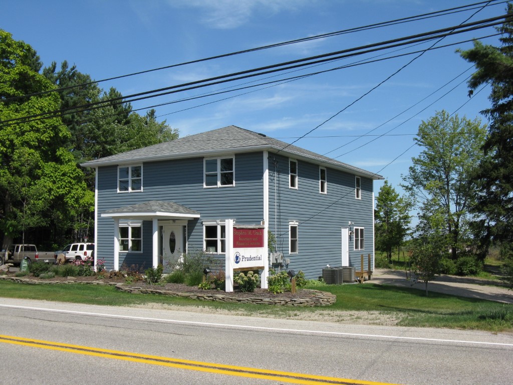
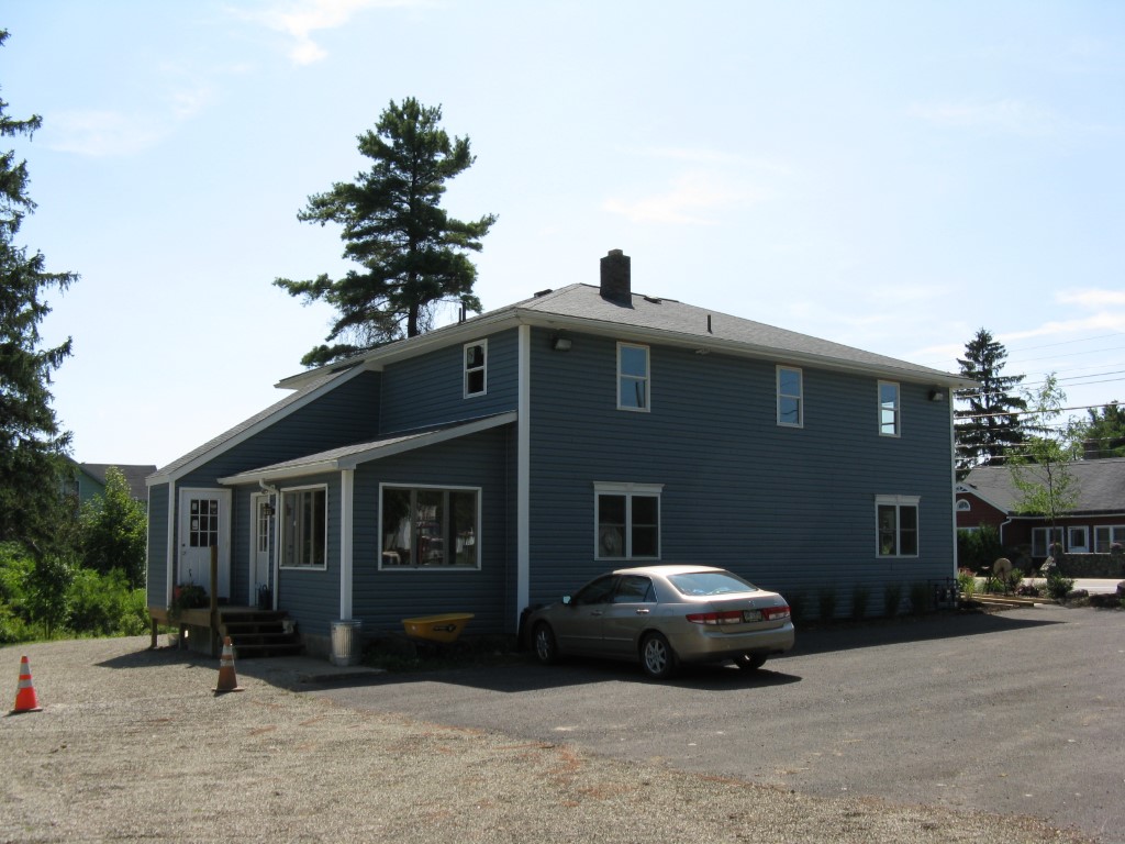
Address: 9211 WATTSBURG RD
Parcel: 25012039003200
Parcel Profile
Address
9211 | WATTSBURG | RD
Street Status
PAVED
School District
WATTSBURG SCHOOL
Acreage
3.0000
Classification
C
Land Use Code
RESTAURANTS, STORES (RETAIL)
Legal Description
9211 WATTSBURG RD 3 AC
Square Feet
3760
Topo
LEVEL
Utility
WELL | SEPTIC
Zoning
Please contact your municipal zoning officer
Deed Book
2021
Deed Page
002655
2026 Tax Values
Land Value / Taxable
36,000 / 36,000.00
Building Value / Taxable
101,300 / 101,300.00
Total Value / Taxable
137,300 / 137,300.00
Clean & Green
Inactive
Homestead Status
Inactive
Farmstead Status
Inactive
Lerta Amount
0
Lerta Expiration Year
0
Commercial Data
Card 1
MIXED RESIDENTIAL/COMMERCIAL
Business Living Area - 3760
Year Built - 1955
Improvement Name - URASH INSURANCE
Value - 101300
Other Buildings & Yards
No OBY Data Found
Sales History
Sale Date
Type
Price
Book / Page
Other Info
2/3/2021
LAND & BUILDING
175000
2021 / 002655
SPECIAL WARRANTY DEED
6/4/2007
LAND & BUILDING
118100
1420 / 1759
DEED
9/5/1975
0
1170 / 0246
Parcel Sketches
Commercial Card 1
A
MAIN
1200 square feet
B
MAIN
1360 square feet
C
MAIN
1200 square feet
Parcel Images
Please note:
this tab is for informational purposes only and may not show all delinquencies, see the Taxes tab for more accurate delinquent taxes due.