Elected Officials
Courts
Departments
Initiatives
Open Government
About
Login / Register
Home
/
Property & Tax Records
/
Property Records
/
Property & Tax Search
/
Parcel Profile
/
Print View
Search for Another Parcel
Parcel Profile
Historical Card
Sketches
Photos
Tax Map
Taxes
Print View
Print This Page
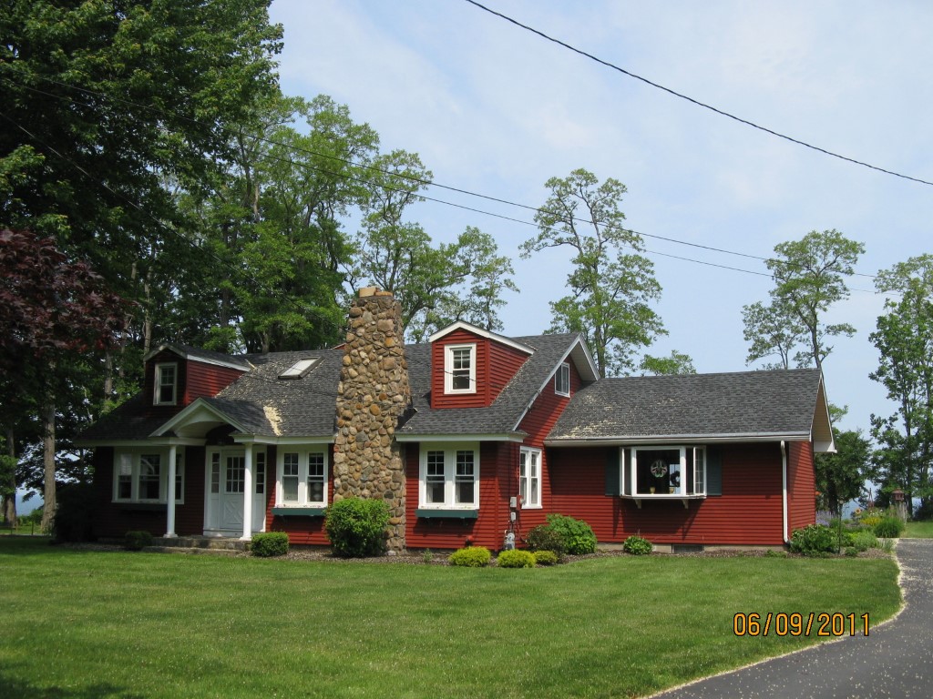
Address: 8026 DRIFTWOOD DR
Parcel: 27026021000700
Parcel Profile
Address
8026 | DRIFTWOOD | DR
Street Status
PAVED
School District
HARBOR CREEK
Acreage
1.3200
Classification
R
Land Use Code
SINGLE FAMILY
Legal Description
8026 DRIFTWOOD DR 1.32 AC CAL
Square Feet
1728
Topo
ROLLING
Utility
PUBLIC WATER | GAS | SEPTIC
Zoning
Please contact your municipal zoning officer
Deed Book
2011
Deed Page
023168
2026 Tax Values
Land Value / Taxable
140,900 / 140,900.00
Building Value / Taxable
72,100 / 72,100.00
Total Value / Taxable
213,000 / 213,000.00
Clean & Green
Inactive
Homestead Status
Active
Farmstead Status
Inactive
Lerta Amount
0
Lerta Expiration Year
0
Residential Data
Card 1
Style
CAPE
Basement
FULL
Year Built
1930
Exterior Wall
ALUMINUM/VINYL
Total Living Area
1728
Full Baths
2
Half Baths
0
Fuel Type
GAS
Heating
CENTRAL
Heating System
FORCED AIR
Stories
1.0
Total Bedrooms
4
Total Family Rooms
0
Total Rooms
6
Fireplaces
0
Other Buildings & Yards
Description
Built
Width
Length
Area
FRAME OR CB DETACHED GARAGE
1930
18
20
360
Sales History
Sale Date
Type
Price
Book / Page
Other Info
9/29/2011
LAND & BUILDING
0
2011 / 023168
DEED
6/8/1970
0
1023 / 0680
Parcel Sketches
Residential Card 1
A
MAIN
1140 square feet
B
OFP OPEN FRAME PORCH
45 square feet
C
OFP OPEN FRAME PORCH
180 square feet
D
UNFIN BSMT BASEMENT UNFINISHED 1S FR ONE STORY FRAME
360 square feet
Parcel Images
Please note:
this tab is for informational purposes only and may not show all delinquencies, see the Taxes tab for more accurate delinquent taxes due.