Elected Officials
Courts
Departments
Initiatives
Open Government
About
Login / Register
Home
/
Property & Tax Records
/
Property Records
/
Property & Tax Search
/
Parcel Profile
/
Print View
Search for Another Parcel
Parcel Profile
Historical Card
Sketches
Photos
Tax Map
Taxes
Print View
Print This Page
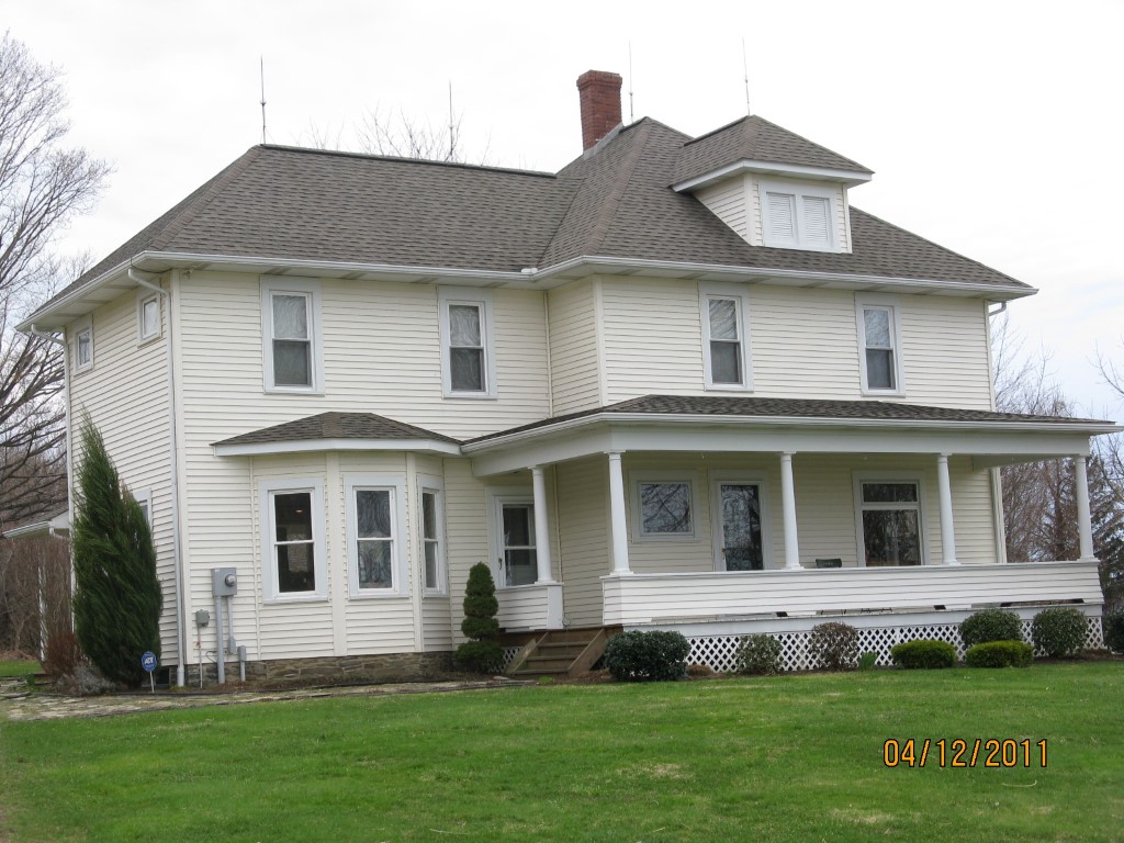
Address: LEET RD
Parcel: 27031030000500
Parcel Profile
Address
0 | LEET | RD
Street Status
PAVED
School District
HARBOR CREEK
Acreage
29.9150
Classification
F
Land Use Code
20-79.99 ACRES
Legal Description
LEET RD 29.915 AC NET
Topo
ROLLING
Utility
GAS | WELL | SEPTIC
Zoning
Please contact your municipal zoning officer
Deed Book
2021
Deed Page
004148
2026 Tax Values
Land Value / Taxable
87,600 / 19,700.00
Building Value / Taxable
0 / 0.00
Total Value / Taxable
87,600 / 19,700.00
Clean & Green
Active
Homestead Status
Inactive
Farmstead Status
Inactive
Lerta Amount
0
Lerta Expiration Year
0
Other Buildings & Yards
No OBY Data Found
Sales History
Sale Date
Type
Price
Book / Page
Other Info
2/22/2021
LAND
0
2021 / 004148
CORRECTIVE DEED
1/7/2021
LAND
0
2021 / 000464
QUIT CLAIM DEED
3/23/2001
LAND & BUILDING
0
760 / 870
Parcel Sketches
Invalid Parcel Number or No Sketches on File
Parcel Images
Please note:
this tab is for informational purposes only and may not show all delinquencies, see the Taxes tab for more accurate delinquent taxes due.