Elected Officials
Courts
Departments
Initiatives
Open Government
About
Login / Register
Home
/
Property & Tax Records
/
Property Records
/
Property & Tax Search
/
Parcel Profile
/
Print View
Search for Another Parcel
Parcel Profile
Historical Card
Sketches
Photos
Tax Map
Taxes
Print View
Print This Page
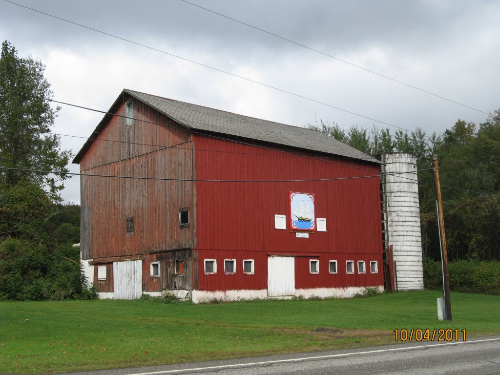
Address: 13884 ROUTE 19
Parcel: 30013059001300
Parcel Profile
Address
13884 | ROUTE 19
Street Status
PAVED
School District
FORT LEBOEUF SCHOOL
Acreage
139.0600
Classification
F
Land Use Code
OUT BUILDINGS ONLY: NOT LIVING UNITS
Legal Description
13884 ROUTE 19 TR 109 138.06 AC
Topo
LEVEL
Utility
NONE
Zoning
Please contact your municipal zoning officer
Deed Book
0355
Deed Page
0596
2026 Tax Values
Land Value / Taxable
113,200 / 113,200.00
Building Value / Taxable
33,000 / 33,000.00
Total Value / Taxable
146,200 / 146,200.00
Clean & Green
Inactive
Homestead Status
Inactive
Farmstead Status
Inactive
Lerta Amount
0
Lerta Expiration Year
0
Other Buildings & Yards
No OBY Data Found
Sales History
Sale Date
Type
Price
Book / Page
Other Info
9/23/1994
0
0355 / 0596
Parcel Sketches
Invalid Parcel Number or No Sketches on File
Parcel Images
Please note:
this tab is for informational purposes only and may not show all delinquencies, see the Taxes tab for more accurate delinquent taxes due.