Elected Officials
Courts
Departments
Initiatives
Open Government
About
Login / Register
Home
/
Property & Tax Records
/
Property Records
/
Property & Tax Search
/
Parcel Profile
/
Print View
Search for Another Parcel
Parcel Profile
Historical Card
Sketches
Photos
Tax Map
Taxes
Print View
Print This Page
Address: 632 TWP RTE
Parcel: 30019085000600
Parcel Profile
Address
0 | 632 TWP | RTE
Street Status
UNPAVED
School District
FORT LEBOEUF SCHOOL
Acreage
48.1000
Classification
F
Land Use Code
OUT BUILDINGS ONLY: NOT LIVING UNITS
Legal Description
TWP RTE 632 TR Y | 48.1 AC CAL
Topo
ROLLING
Utility
NONE
Zoning
Please contact your municipal zoning officer
Deed Book
2016
Deed Page
017921
2026 Tax Values
Land Value / Taxable
80,000 / 21,700.00
Building Value / Taxable
7,400 / 7,400.00
Total Value / Taxable
87,400 / 29,100.00
Clean & Green
Active
Homestead Status
Inactive
Farmstead Status
Inactive
Lerta Amount
0
Lerta Expiration Year
0
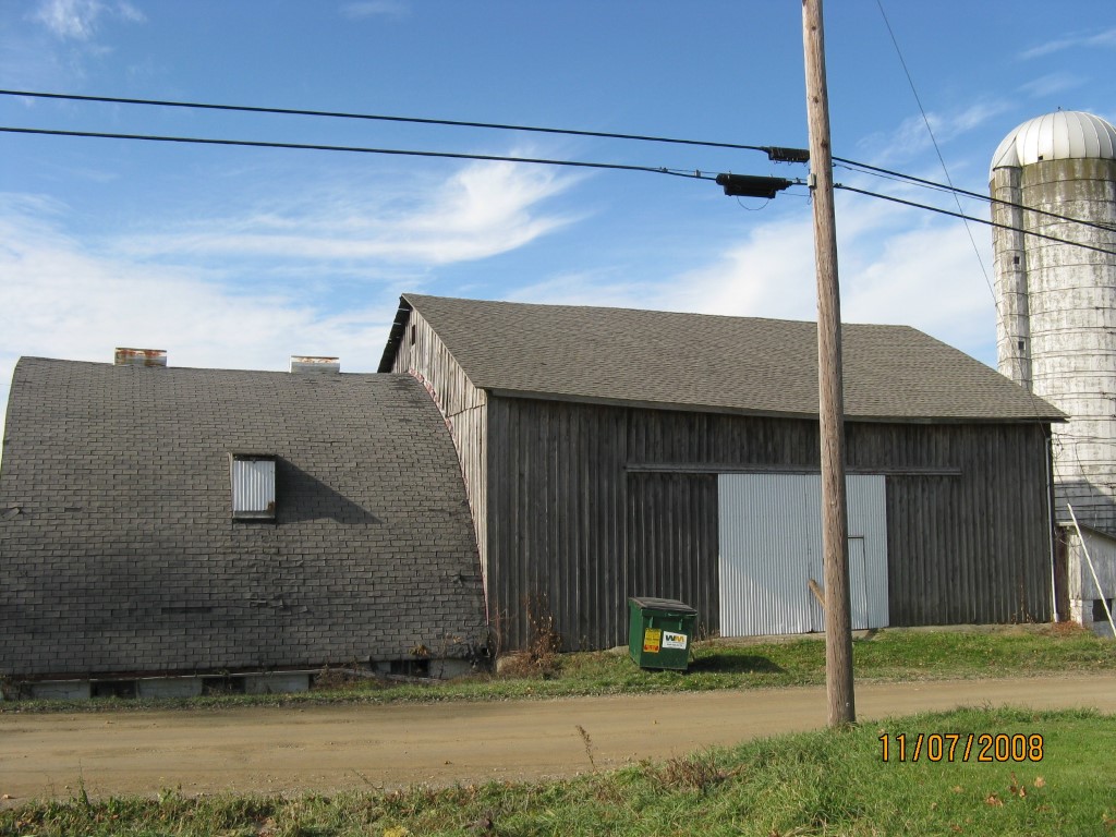
Other Buildings & Yards
Description
Built
Width
Length
Area
BANK BARN
1920
40
50
2000
BANK BARN ADDITION
1963
30
40
1200
BANK BARN ADDITION
1950
24
50
1200
BANK BARN ADDITION
1950
14
18
252
Sales History
Sale Date
Type
Price
Book / Page
Other Info
8/19/2016
LAND & BUILDING
200000
2016 / 017921
WARRANTY/SURVIVORSHIP DEED
5/3/2013
LAND & BUILDING
0
2013 / 010841
QUIT CLAIM DEED
6/10/1993
0
0273 / 2016
Parcel Sketches
Invalid Parcel Number or No Sketches on File
Parcel Images
Please note:
this tab is for informational purposes only and may not show all delinquencies, see the Taxes tab for more accurate delinquent taxes due.