Elected Officials
Courts
Departments
Initiatives
Open Government
About
Login / Register
Home
/
Property & Tax Records
/
Property Records
/
Property & Tax Search
/
Parcel Profile
/
Print View
Search for Another Parcel
Parcel Profile
Historical Card
Sketches
Photos
Tax Map
Taxes
Print View
Print This Page
Address: 10550 OSBORNE RD
Parcel: 31018069000501
Parcel Profile
Address
10550 | OSBORNE | RD
Street Status
PAVED
School District
GENERAL MCLANE SCHOOL
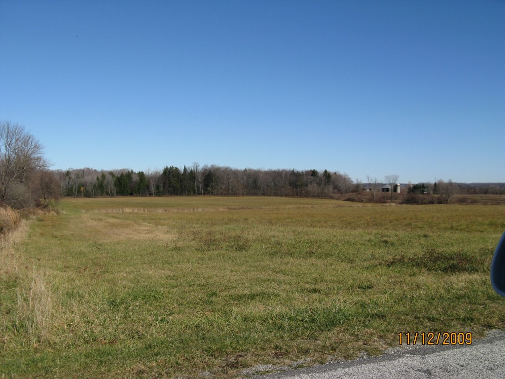
Acreage
19.4740
Classification
F
Land Use Code
10-19.99 ACRES
Legal Description
10550 OSBORNE RD PCL C 19.474 AC
Topo
ROLLING
Utility
NONE
Zoning
Please contact your municipal zoning officer
Deed Book
2026
Deed Page
010771
2026 Tax Values
Land Value / Taxable
58,700 / 11,000.00
Building Value / Taxable
0 / 0.00
Total Value / Taxable
58,700 / 11,000.00
Clean & Green
Active
Homestead Status
Inactive
Farmstead Status
Inactive
Lerta Amount
0
Lerta Expiration Year
0
Other Buildings & Yards
No OBY Data Found
Sales History
Sale Date
Type
Price
Book / Page
Other Info
6/22/2026
LAND
0
2026 / 010771
SPECIAL WARRANTY DEED
4/21/2025
LAND
0
2025 / 006187
FIDUCIARY DEED
11/29/2022
VACANT
0
2022 / 025114
QUIT CLAIM DEED
5/12/1993
0
0268 / 0390
Parcel Sketches
Invalid Parcel Number or No Sketches on File
Parcel Images
Please note:
this tab is for informational purposes only and may not show all delinquencies, see the Taxes tab for more accurate delinquent taxes due.