Elected Officials
Courts
Departments
Initiatives
Open Government
About
Login / Register
Home
/
Property & Tax Records
/
Property Records
/
Property & Tax Search
/
Parcel Profile
/
Print View
Search for Another Parcel
Parcel Profile
Historical Card
Sketches
Photos
Tax Map
Taxes
Print View
Print This Page
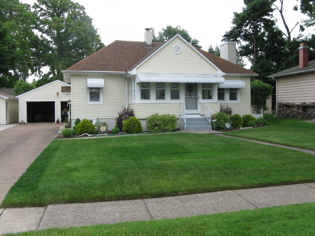
Address: 403 BLACKSTONE DR
Parcel: 33006023000100
Parcel Profile
Address
403 | BLACKSTONE | DR
Street Status
PAVED | SIDEWALK
School District
MILLCREEK SCHOOL
Acreage
0.2893
Classification
R
Land Use Code
SINGLE FAMILY
Legal Description
403 BLACKSTONE DR 48.69 X 120I
Square Feet
1432
Topo
LEVEL
Utility
ALL PUBLIC
Zoning
Please contact your municipal zoning officer
Deed Book
2026
Deed Page
010875
2026 Tax Values
Land Value / Taxable
24,100 / 24,100.00
Building Value / Taxable
90,980 / 90,980.00
Total Value / Taxable
115,080 / 115,080.00
Clean & Green
Inactive
Homestead Status
Active
Farmstead Status
Inactive
Lerta Amount
0
Lerta Expiration Year
0
Residential Data
Card 1
Style
BUNGALOW
Basement
FULL
Year Built
1927
Exterior Wall
ALUMINUM/VINYL
Total Living Area
1432
Full Baths
1
Half Baths
0
Fuel Type
GAS
Heating
CENTRAL A/C
Heating System
FORCED AIR
Stories
1.0
Total Bedrooms
3
Total Family Rooms
0
Total Rooms
6
Fireplaces
1
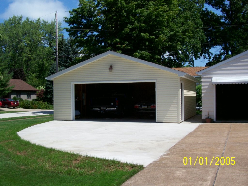
Other Buildings & Yards
No OBY Data Found
Sales History
Sale Date
Type
Price
Book / Page
Other Info
6/23/2026
LAND & BUILDING
283204
2026 / 010875
FIDUCIARY DEED
8/31/2015
LAND & BUILDING
0
2015 / 019066
QUIT CLAIM DEED
5/9/2006
LAND & BUILDING
0
1326 / 0534
DEED
2/6/1991
0
0149 / 2253
3/15/1947
0
0478 / 0463
9/2/1938
0
0385 / 0580
Parcel Sketches
Residential Card 1
A
MAIN
760 square feet
B
EFP ENCL FRAME PORCH
96 square feet
C
OFP OPEN FRAME PORCH
96 square feet
D
UNFIN BSMT BASEMENT UNFINISHED 1S FR ONE STORY FRAME
672 square feet
Parcel Images
Please note:
this tab is for informational purposes only and may not show all delinquencies, see the Taxes tab for more accurate delinquent taxes due.