Elected Officials
Courts
Departments
Initiatives
Open Government
About
Login / Register
Home
/
Property & Tax Records
/
Property Records
/
Property & Tax Search
/
Parcel Profile
/
Print View
Search for Another Parcel
Parcel Profile
Historical Card
Sketches
Photos
Tax Map
Taxes
Print View
Print This Page
Address: 215 BLACKSTONE DR
Parcel: 33006024002700
Parcel Profile
Address
215 | BLACKSTONE | DR
Street Status
PAVED | SIDEWALK
School District
MILLCREEK SCHOOL
Acreage
0.1157
Classification
R
Land Use Code
SINGLE FAMILY
Legal Description
215 BLACKSTONE DR 40 X 126
Square Feet
1104
Topo
LEVEL
Utility
ALL PUBLIC
Zoning
Please contact your municipal zoning officer
Deed Book
1175
Deed Page
1047
2026 Tax Values
Land Value / Taxable
19,400 / 19,400.00
Building Value / Taxable
79,930 / 79,930.00
Total Value / Taxable
99,330 / 99,330.00
Clean & Green
Inactive
Homestead Status
Inactive
Farmstead Status
Inactive
Lerta Amount
0
Lerta Expiration Year
0
Residential Data
Card 1
Style
CONVENTIONAL
Basement
FULL
Year Built
1917
Exterior Wall
ALUMINUM/VINYL
Total Living Area
1104
Full Baths
1
Half Baths
0
Fuel Type
GAS
Heating
CENTRAL
Heating System
FORCED AIR
Stories
2.0
Total Bedrooms
2
Total Family Rooms
0
Total Rooms
5
Fireplaces
1
Other Buildings & Yards
No OBY Data Found
Sales History
Sale Date
Type
Price
Book / Page
Other Info
9/22/2004
LAND & BUILDING
0
1175 / 1047
WARRANTY/SURVIVORSHIP DEED
1/29/1998
LAND & BUILDING
39295
540 / 181
6/15/1994
0
0339 / 2336
8/27/1984
0
1549 / 0581
9/9/1981
0
1432 / 0463
11/14/1973
0
1109 / 0371
1/13/1964
0
0889 / 0304
Parcel Sketches
Residential Card 1
A
MAIN
480 square feet
B
EFP ENCL FRAME PORCH
240 square feet
C
1S FR ONE STORY FRAME
144 square feet
D
WDDCK WOOD DECKS
120 square feet
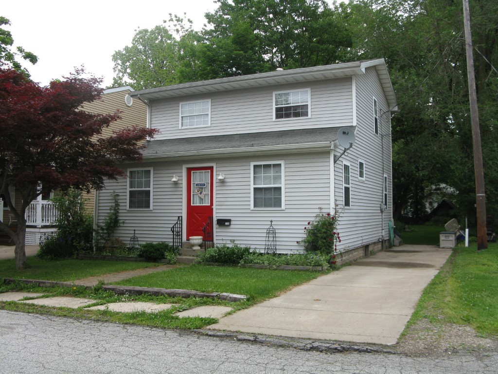
Parcel Images
Please note:
this tab is for informational purposes only and may not show all delinquencies, see the Taxes tab for more accurate delinquent taxes due.