Elected Officials
Courts
Departments
Initiatives
Open Government
About
Login / Register
Home
/
Property & Tax Records
/
Property Records
/
Property & Tax Search
/
Parcel Profile
/
Print View
Search for Another Parcel
Parcel Profile
Historical Card
Sketches
Photos
Tax Map
Taxes
Print View
Print This Page
Address: 615 E GORE RD
Parcel: 33115495001801
Parcel Profile
Address
615 | E | GORE | RD
Street Status
PAVED
School District
MILLCREEK SCHOOL
Acreage
3.6690
Classification
R
Land Use Code
OUTBUILDINGS ONLY; NO LIVING UNITS
Legal Description
615 E GORE RD LT A 3.669 AC
Topo
LEVEL
Utility
ALL PUBLIC
Zoning
Please contact your municipal zoning officer
Deed Book
2012
Deed Page
025628
2026 Tax Values
Land Value / Taxable
34,900 / 34,900.00
Building Value / Taxable
3,200 / 3,200.00
Total Value / Taxable
38,100 / 38,100.00
Clean & Green
Inactive
Homestead Status
Inactive
Farmstead Status
Inactive
Lerta Amount
0
Lerta Expiration Year
0
Other Buildings & Yards
No OBY Data Found
Sales History
Sale Date
Type
Price
Book / Page
Other Info
9/17/2012
LAND & BUILDING
190000
2012 / 025628
FIDUCIARY DEED
10/19/1995
0
0408 / 1779
Parcel Sketches
Invalid Parcel Number or No Sketches on File
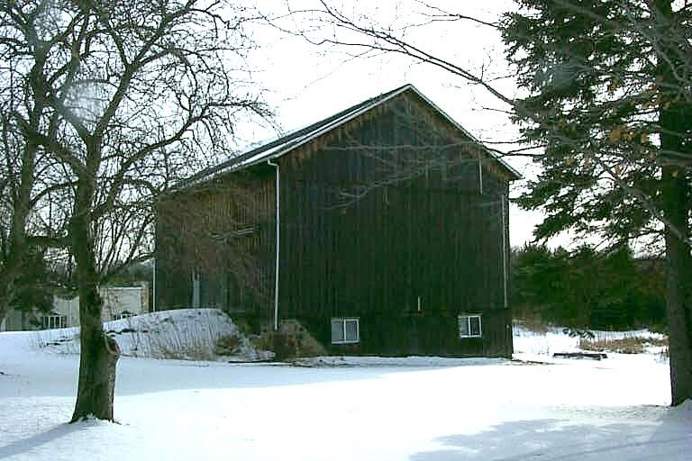
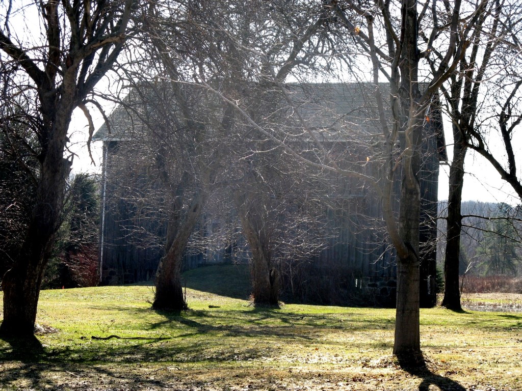
Parcel Images
Please note:
this tab is for informational purposes only and may not show all delinquencies, see the Taxes tab for more accurate delinquent taxes due.