Elected Officials
Courts
Departments
Initiatives
Open Government
About
Login / Register
Home
/
Property & Tax Records
/
Property Records
/
Property & Tax Search
/
Parcel Profile
/
Print View
Search for Another Parcel
Parcel Profile
Historical Card
Sketches
Photos
Tax Map
Taxes
Print View
Print This Page
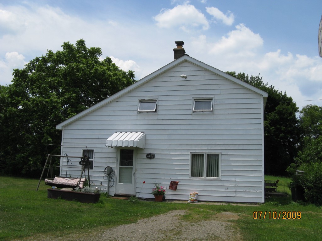
Address: 11171 CURTIS RD
Parcel: 37005045000200
Parcel Profile
Address
11171 | CURTIS | RD
Street Status
PAVED
School District
NORTH EAST SCHOOL
Acreage
19.7400
Classification
F
Land Use Code
10-19.99 ACRES
Legal Description
11171 CURTIS RD 19.74 AC NET | 20.445 AC GROSS
Square Feet
1218
Topo
LEVEL
Utility
PUBLIC WATER | GAS | SEPTIC
Zoning
Please contact your municipal zoning officer
Deed Book
2015
Deed Page
027455
2026 Tax Values
Land Value / Taxable
94,800 / 10,300.00
Building Value / Taxable
37,300 / 37,300.00
Total Value / Taxable
132,100 / 47,600.00
Clean & Green
Active
Homestead Status
Inactive
Farmstead Status
Inactive
Lerta Amount
0
Lerta Expiration Year
0
Residential Data
Card 1
Style
OLD STYLE
Basement
NONE
Year Built
1910
Exterior Wall
ALUMINUM/VINYL
Total Living Area
1218
Full Baths
1
Half Baths
1
Fuel Type
GAS
Heating
CENTRAL
Heating System
HOT WATER
Stories
1.5
Total Bedrooms
2
Total Family Rooms
0
Total Rooms
5
Fireplaces
1
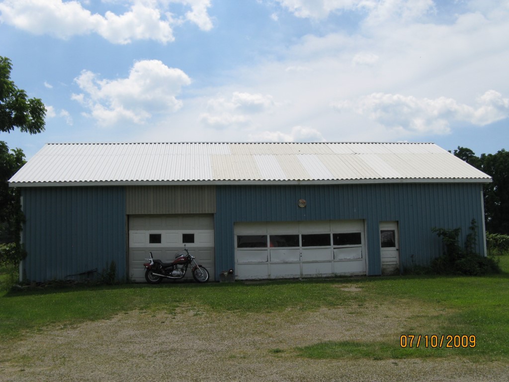
Other Buildings & Yards
Description
Built
Width
Length
Area
FOUR SIDE CLOSED MTL POLE BLDG
1910
56
26
1456
METAL SHED
1950
20
12
240
Sales History
Sale Date
Type
Price
Book / Page
Other Info
12/16/2015
LAND & BUILDING
97760
2015 / 027455
FIDUCIARY DEED
1/1/1969
0
0954 / 0089
Parcel Sketches
Residential Card 1
A
MAIN
696 square feet
Parcel Images
Please note:
this tab is for informational purposes only and may not show all delinquencies, see the Taxes tab for more accurate delinquent taxes due.