Elected Officials
Courts
Departments
Initiatives
Open Government
About
Login / Register
Home
/
Property & Tax Records
/
Property Records
/
Property & Tax Search
/
Parcel Profile
/
Print View
Search for Another Parcel
Parcel Profile
Historical Card
Sketches
Photos
Tax Map
Taxes
Print View
Print This Page
Address: 11727 E MAIN RD
Parcel: 37017073000901
Parcel Profile
Address
11727 | E | MAIN | RD
Street Status
PAVED
School District
NORTH EAST SCHOOL
Acreage
18.8450
Classification
C
Land Use Code
RESTAURANTS, STORES (RETAIL)
Legal Description
11727 E MAIN - US RT 20 18.845 AC. | REF S2007-155
Square Feet
8015
Topo
LEVEL
Utility
NONE
Zoning
Please contact your municipal zoning officer
Deed Book
2019
Deed Page
014743
2026 Tax Values
Land Value / Taxable
90,500 / 11,900.00
Building Value / Taxable
201,400 / 201,400.00
Total Value / Taxable
291,900 / 213,300.00
Clean & Green
Active
Homestead Status
Inactive
Farmstead Status
Inactive
Lerta Amount
0
Lerta Expiration Year
0
Commercial Data
Card 1
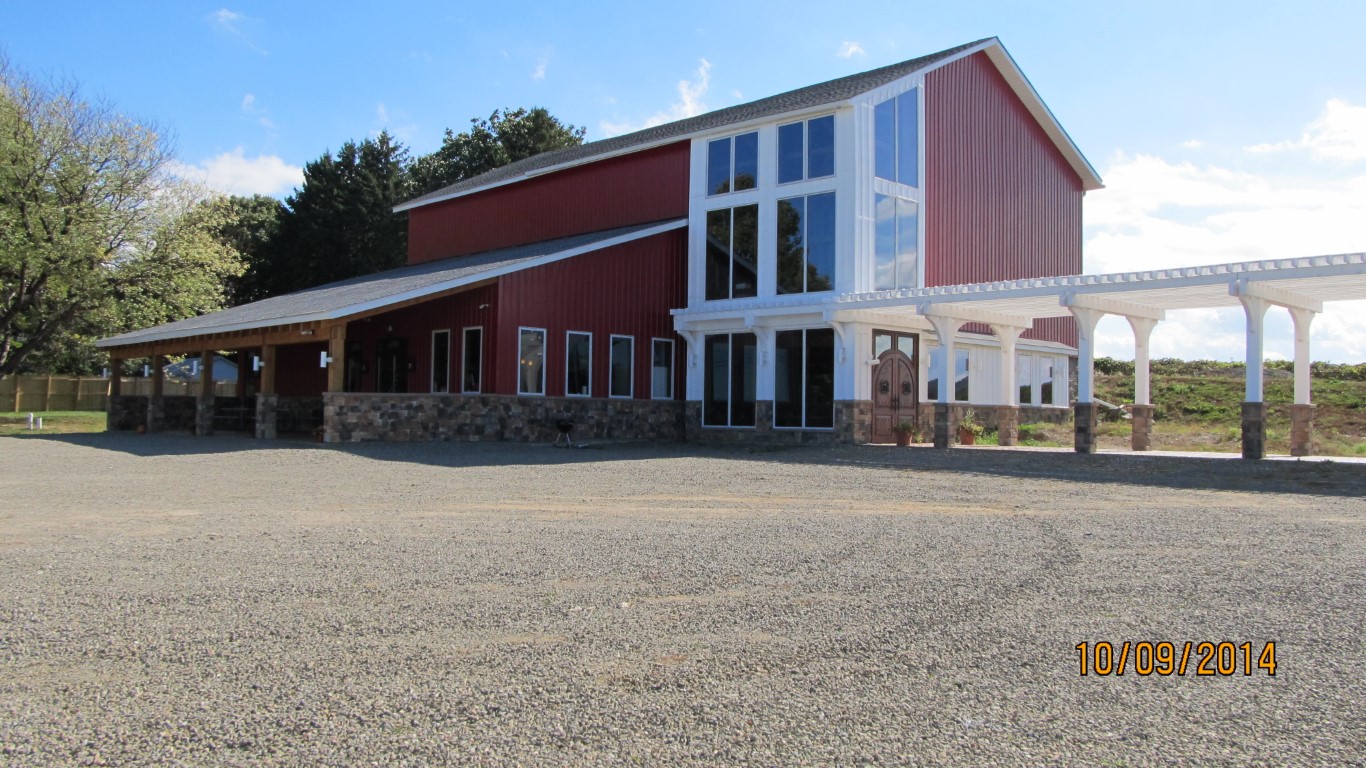
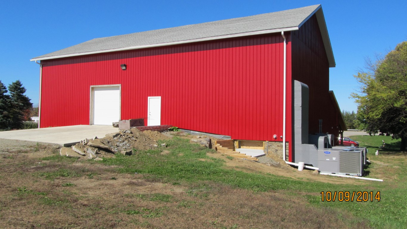
RETAIL SINGLE OCCUP
Business Living Area - 8015
Year Built - 1900
Improvement Name - ARUNDEL CELLARS & BREWING
Value - 212140
Other Buildings & Yards
No OBY Data Found
Sales History
Sale Date
Type
Price
Book / Page
Other Info
7/30/2019
LAND & BUILDING
1000
2019 / 014743
SPECIAL WARRANTY DEED
2/24/2016
LAND & BUILDING
0
2016 / 003696
DEED
6/26/2012
LAND & BUILDING
350000
2012 / 016815
SPECIAL WARRANTY DEED
11/4/2005
LAND & BUILDING
0
1284 / 1205
QUIT CLAIM DEED
2/10/1993
0
0253 / 2088
Parcel Sketches
Commercial Card 1
A
MAIN
4679 square feet
B
MAIN
3336 square feet
Parcel Images
Please note:
this tab is for informational purposes only and may not show all delinquencies, see the Taxes tab for more accurate delinquent taxes due.