Elected Officials
Courts
Departments
Initiatives
Open Government
About
Login / Register
Home
/
Property & Tax Records
/
Property Records
/
Property & Tax Search
/
Parcel Profile
/
Print View
Search for Another Parcel
Parcel Profile
Historical Card
Sketches
Photos
Tax Map
Taxes
Print View
Print This Page
Address: HOPKINS RD
Parcel: 37026079000600
Parcel Profile
Address
0 | HOPKINS | RD
Street Status
PAVED
School District
NORTH EAST SCHOOL
Acreage
58.0300
Classification
F
Land Use Code
OUT BUILDINGS ONLY: NOT LIVING UNITS
Legal Description
HOPKINS RD TR 132 | 58.03 AC CAL
Topo
ROLLING
Utility
NONE
Zoning
Please contact your municipal zoning officer
Deed Book
2020
Deed Page
017143
2026 Tax Values
Land Value / Taxable
189,800 / 33,100.00
Building Value / Taxable
1,900 / 1,900.00
Total Value / Taxable
191,700 / 35,000.00
Clean & Green
Active
Homestead Status
Inactive
Farmstead Status
Inactive
Lerta Amount
0
Lerta Expiration Year
0
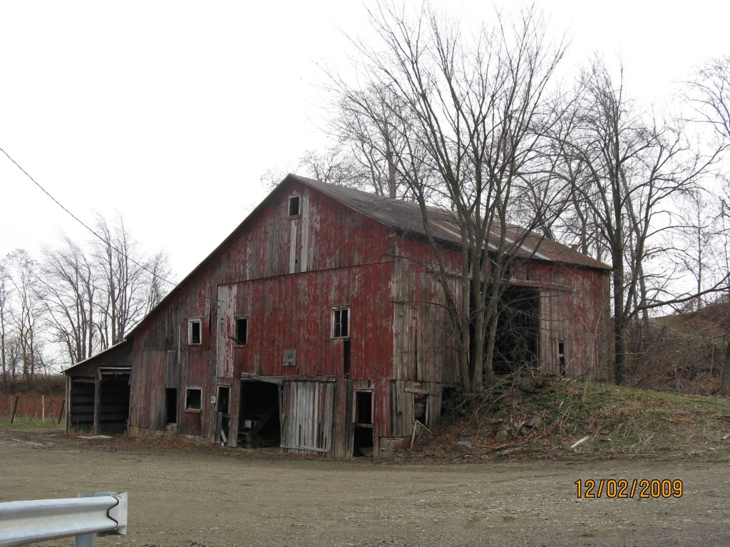
Other Buildings & Yards
Description
Built
Width
Length
Area
BANK BARN
1901
30
40
1200
Sales History
Sale Date
Type
Price
Book / Page
Other Info
8/28/2020
LAND & BUILDING
800000
2020 / 017143
SPECIAL WARRANTY DEED
9/20/2004
LAND & BUILDING
0
1174 / 1360
WARRANTY/SURVIVORSHIP DEED
7/18/1991
0
0169 / 0715
Parcel Sketches
Invalid Parcel Number or No Sketches on File
Parcel Images
Please note:
this tab is for informational purposes only and may not show all delinquencies, see the Taxes tab for more accurate delinquent taxes due.