Elected Officials
Courts
Departments
Initiatives
Open Government
About
Login / Register
Home
/
Property & Tax Records
/
Property Records
/
Property & Tax Search
/
Parcel Profile
/
Print View
Search for Another Parcel
Parcel Profile
Historical Card
Sketches
Photos
Tax Map
Taxes
Print View
Print This Page
Address: CHESTNUT ST
Parcel: 39015042001301
Parcel Profile
Address
0 | CHESTNUT | ST
Street Status
PAVED
School District
NORTHWESTERN SCHOOL
Acreage
0.4800
Classification
C
Land Use Code
GARAGES/SHOP/CAR DEALERS
Legal Description
CHESTNUT ST TR 1 | 92.54 X 224.9
Square Feet
25703
Topo
LEVEL
Utility
GAS | WELL | SEPTIC
Zoning
Please contact your municipal zoning officer
Deed Book
1579
Deed Page
0817
2026 Tax Values
Land Value / Taxable
5,000 / 5,000.00
Building Value / Taxable
20,000 / 20,000.00
Total Value / Taxable
25,000 / 25,000.00
Clean & Green
Inactive
Homestead Status
Inactive
Farmstead Status
Inactive
Lerta Amount
0
Lerta Expiration Year
0
Commercial Data
Card 1
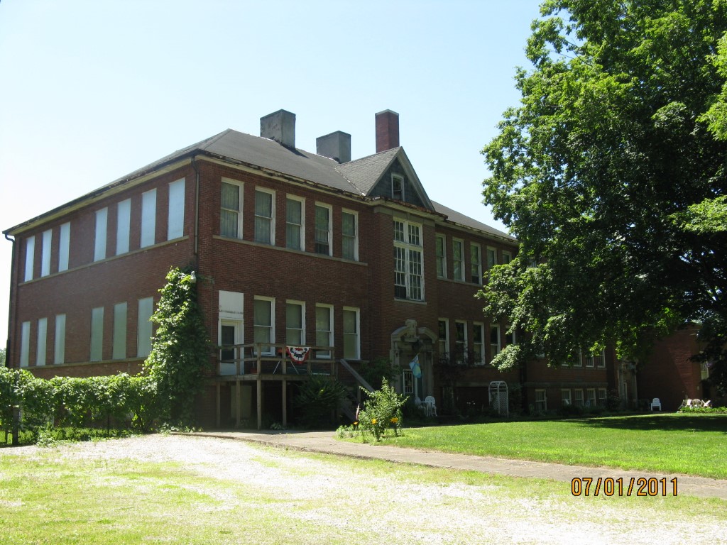
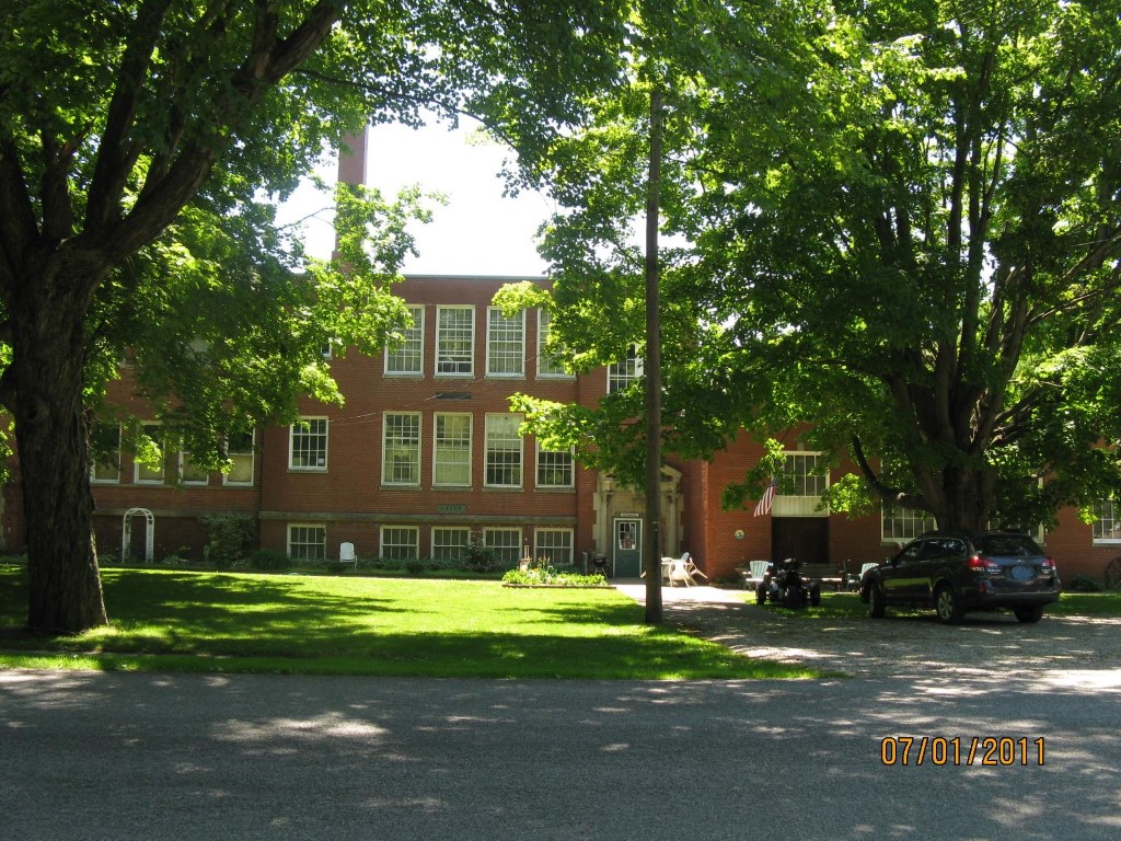
SCHOOL
Business Living Area - 25703
Year Built - 1900
Improvement Name - BARTOSEKS AGRICULTURAL
Value - 237940
Other Buildings & Yards
No OBY Data Found
Sales History
Sale Date
Type
Price
Book / Page
Other Info
7/24/2009
LAND & BUILDING
0
1579 / 0817
QUIT CLAIM DEED
7/23/1999
0
0651 / 0610
Parcel Sketches
Commercial Card 1
A
MAIN
6981 square feet
B
MAIN
6981 square feet
C
MAIN
5553 square feet
D
MAIN
1428 square feet
E
MAIN
4760 square feet
Parcel Images
Please note:
this tab is for informational purposes only and may not show all delinquencies, see the Taxes tab for more accurate delinquent taxes due.