Elected Officials
Courts
Departments
Initiatives
Open Government
About
Login / Register
Home
/
Property & Tax Records
/
Property Records
/
Property & Tax Search
/
Parcel Profile
/
Print View
Search for Another Parcel
Parcel Profile
Historical Card
Sketches
Photos
Tax Map
Taxes
Print View
Print This Page
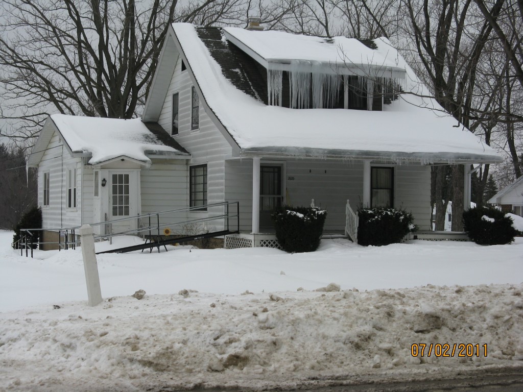
Address: 7626 EDINBORO RD
Parcel: 40002005003100
Parcel Profile
Address
7626 | EDINBORO | RD
Street Status
PAVED
School District
FORT LEBOEUF SCHOOL
Acreage
1.0363
Classification
C
Land Use Code
WAREHOUSES
Legal Description
7626 EDINBORO RD 102X263.77IRR
Square Feet
9378
Topo
LEVEL
Utility
GAS | WELL | SEPTIC
Zoning
Please contact your municipal zoning officer
Deed Book
2011
Deed Page
011910
2026 Tax Values
Land Value / Taxable
54,200 / 54,200.00
Building Value / Taxable
64,900 / 64,900.00
Total Value / Taxable
119,100 / 119,100.00
Clean & Green
Inactive
Homestead Status
Inactive
Farmstead Status
Inactive
Lerta Amount
0
Lerta Expiration Year
0
Commercial Data
Card 1
RETAIL SINGLE OCCUP
Business Living Area - 6312
Year Built - 1920
Improvement Name - VACANT ANDRUS LUMBER SUPPLY
Value - 45650
Card 2
RESIDENTIAL 1 FAMILY
Business Living Area - 3066
Year Built - 1920
Improvement Name - SINGLE FAMILY DWELLING
Value - 39330
Other Buildings & Yards
No OBY Data Found
Sales History
Sale Date
Type
Price
Book / Page
Other Info
5/27/2011
LAND & BUILDING
0
2011 / 011910
FIDUCIARY DEED
12/30/1993
0
0312 / 0599
Parcel Sketches
Commercial Card 1
A
MAIN
6312 square feet
Commercial Card 2
A
MAIN
1308 square feet
B
MAIN
1308 square feet
C
MAIN
450 square feet
Parcel Images
Please note:
this tab is for informational purposes only and may not show all delinquencies, see the Taxes tab for more accurate delinquent taxes due.