Elected Officials
Courts
Departments
Initiatives
Open Government
About
Login / Register
Home
/
Property & Tax Records
/
Property Records
/
Property & Tax Search
/
Parcel Profile
/
Print View
Search for Another Parcel
Parcel Profile
Historical Card
Sketches
Photos
Tax Map
Taxes
Print View
Print This Page
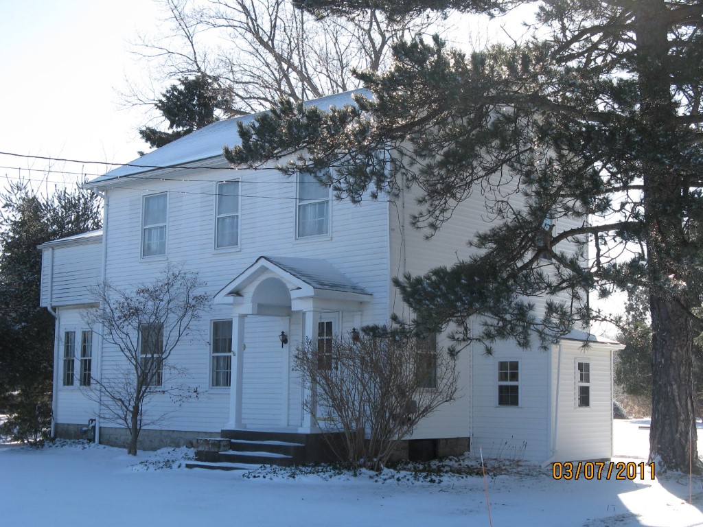
Address: 361 ROBISON RD
Parcel: 40014086000401
Parcel Profile
Address
361 | ROBISON | RD
Street Status
PAVED
School District
FORT LEBOEUF SCHOOL
Acreage
4.9500
Classification
R
Land Use Code
SINGLE FAMILY
Legal Description
361 ROBISON RD W 4.949 AC
Square Feet
2035
Topo
LEVEL
Utility
PUBLIC WATER | SEPTIC
Zoning
Please contact your municipal zoning officer
Deed Book
2024
Deed Page
020627
2026 Tax Values
Land Value / Taxable
49,400 / 49,400.00
Building Value / Taxable
82,190 / 82,190.00
Total Value / Taxable
131,590 / 131,590.00
Clean & Green
Inactive
Homestead Status
Inactive
Farmstead Status
Inactive
Lerta Amount
0
Lerta Expiration Year
0
Residential Data
Card 1
Style
OLD STYLE
Basement
FULL
Year Built
1930
Exterior Wall
ALUMINUM/VINYL
Total Living Area
2035
Full Baths
1
Half Baths
1
Fuel Type
GAS
Heating
CENTRAL
Heating System
FORCED AIR
Stories
2.0
Total Bedrooms
4
Total Family Rooms
1
Total Rooms
9
Fireplaces
1
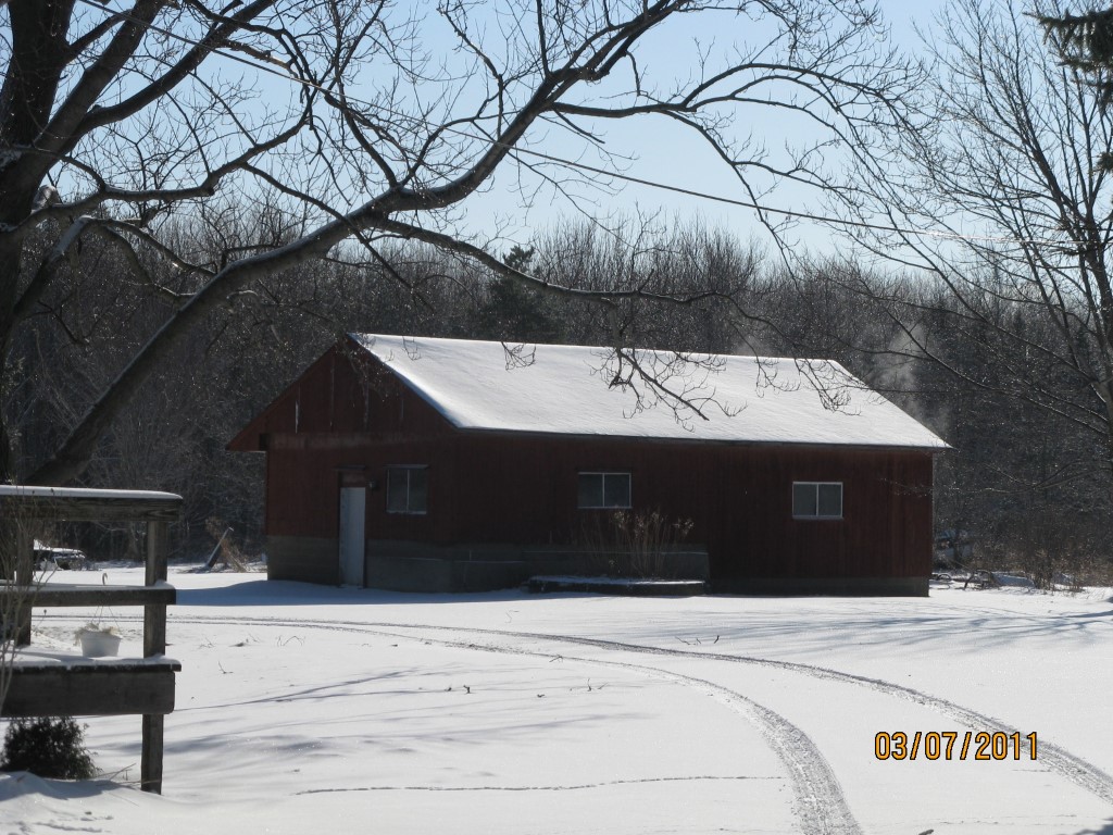
Other Buildings & Yards
No OBY Data Found
Sales History
Sale Date
Type
Price
Book / Page
Other Info
12/16/2024
LAND & BUILDING
0
2024 / 020627
SPECIAL WARRANTY DEED
1/25/2023
LAND & BUILDING
140000
2023 / 001251
SPECIAL WARRANTY DEED
7/22/1974
0
1124 / 0528
Parcel Sketches
Residential Card 1
A
MAIN
720 square feet
B
FROVR FRAME OVERHANG
8 square feet
C
UNFIN BSMT BASEMENT UNFINISHED 1S FR ONE STORY FRAME AT FN ATTIC-FINISHED
160 square feet
D
FROVR FRAME OVERHANG
21 square feet
E
1S FR ONE STORY FRAME
332 square feet
F
WDDCK WOOD DECKS
160 square feet
G
FROVR FRAME OVERHANG
10 square feet
H
EFP ENCL FRAME PORCH
36 square feet
I
OFP OPEN FRAME PORCH
30 square feet
Parcel Images
Please note:
this tab is for informational purposes only and may not show all delinquencies, see the Taxes tab for more accurate delinquent taxes due.