Elected Officials
Courts
Departments
Initiatives
Open Government
About
Login / Register
Home
/
Property & Tax Records
/
Property Records
/
Property & Tax Search
/
Parcel Profile
/
Print View
Search for Another Parcel
Parcel Profile
Historical Card
Sketches
Photos
Tax Map
Taxes
Print View
Print This Page
Address: SHUNPIKE RD
Parcel: 40023109001100
Parcel Profile
Address
0 | SHUNPIKE | RD
Street Status
PAVED
School District
FORT LEBOEUF SCHOOL
Acreage
26.0000
Classification
F
Land Use Code
OUT BUILDINGS ONLY: NOT LIVING UNITS
Legal Description
SHUNPIKE RD RTE 566 TR 396 | 26 AC CAL
Topo
ROLLING
Utility
NONE
Zoning
Please contact your municipal zoning officer
Deed Book
2012
Deed Page
022737
2026 Tax Values
Land Value / Taxable
80,500 / 19,100.00
Building Value / Taxable
19,800 / 19,800.00
Total Value / Taxable
100,300 / 38,900.00
Clean & Green
Active
Homestead Status
Inactive
Farmstead Status
Inactive
Lerta Amount
0
Lerta Expiration Year
0
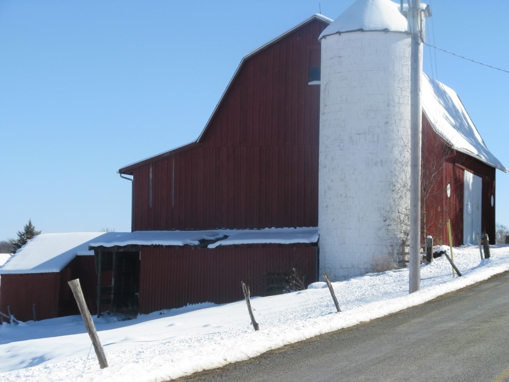
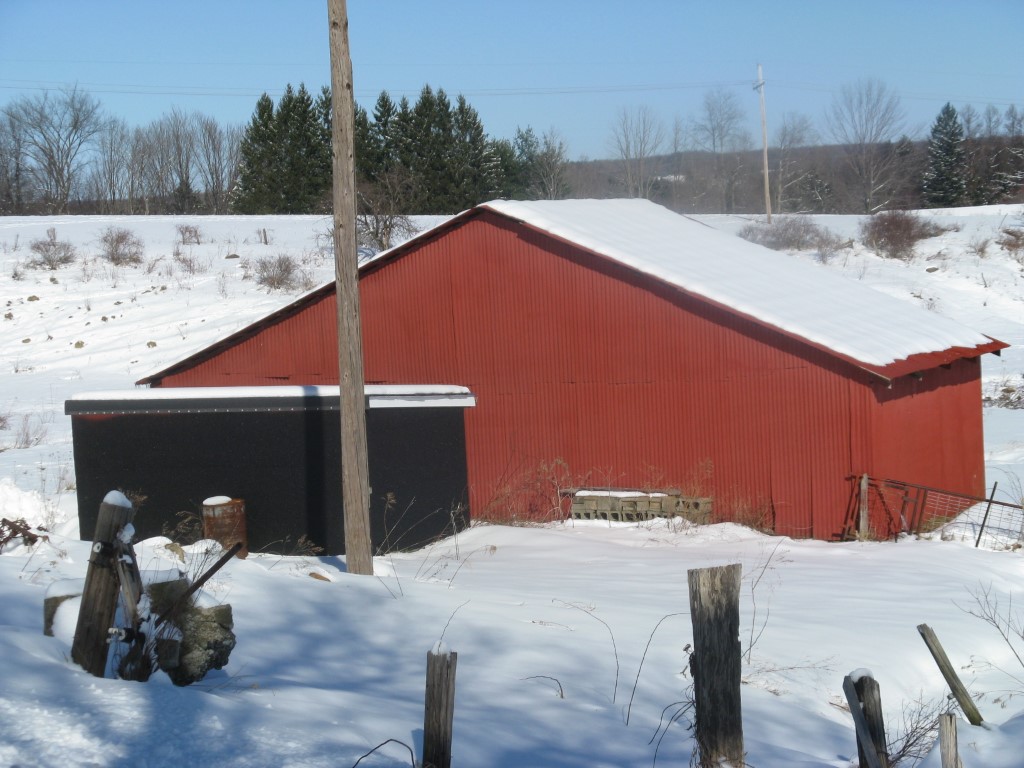
Other Buildings & Yards
Description
Built
Width
Length
Area
BANK BARN
1910
42
40
1680
CONCRETE STAVE WITH ROOF
1910
14
28
4308
BANK BARN ADDITION
1910
22
12
264
ONE SIDE OPEN MTL POLE BLDG
1950
30
30
900
FRAME UTILITY SHED
1995
9
12
108
FOUR SIDE CLOSED WD POLE BLDG
1960
24
40
960
Sales History
Sale Date
Type
Price
Book / Page
Other Info
8/21/2012
LAND & BUILDING
0
2012 / 022737
QUIT CLAIM DEED
2/21/2012
0
2012 / 004267
11/18/2004
LAND & BUILDING
0
1190 / 2195
WARRANTY/SURVIVORSHIP DEED
11/22/1983
0
1517 / 0205
Parcel Sketches
Invalid Parcel Number or No Sketches on File
Parcel Images
Please note:
this tab is for informational purposes only and may not show all delinquencies, see the Taxes tab for more accurate delinquent taxes due.