Elected Officials
Courts
Departments
Initiatives
Open Government
About
Login / Register
Home
/
Property & Tax Records
/
Property Records
/
Property & Tax Search
/
Parcel Profile
/
Print View
Search for Another Parcel
Parcel Profile
Historical Card
Sketches
Photos
Tax Map
Taxes
Print View
Print This Page
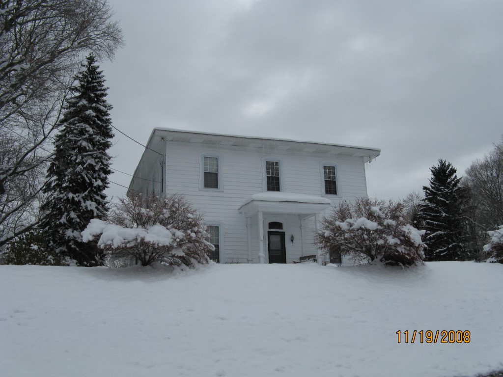
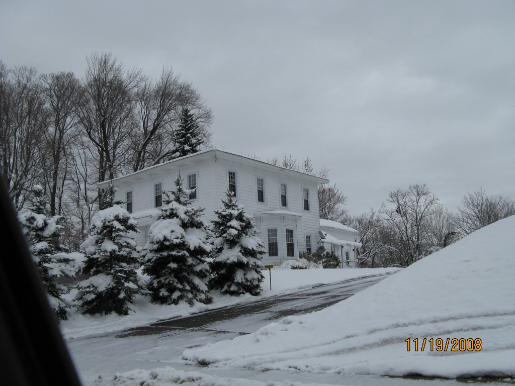
Address: 33 BRIDGE ST
Parcel: 41012048001601
Parcel Profile
Address
33 | BRIDGE | ST
Street Status
PAVED
School District
UNION CITY AREA SCHOOL
Acreage
8.2411
Classification
R
Land Use Code
SINGLE FAMILY
Legal Description
33 BRIDGE ST 8.211 AC CAL
Square Feet
3289
Topo
ROLLING
Utility
ALL PUBLIC
Zoning
Please contact your municipal zoning officer
Deed Book
0385
Deed Page
2196
2026 Tax Values
Land Value / Taxable
26,300 / 26,300.00
Building Value / Taxable
69,490 / 69,490.00
Total Value / Taxable
95,790 / 95,790.00
Clean & Green
Inactive
Homestead Status
Active
Farmstead Status
Inactive
Lerta Amount
0
Lerta Expiration Year
0
Residential Data
Card 1
Style
OLD STYLE
Basement
CRAWL
Year Built
1860
Exterior Wall
ALUMINUM/VINYL
Total Living Area
3289
Full Baths
1
Half Baths
1
Fuel Type
GAS
Heating
CENTRAL
Heating System
FORCED AIR
Stories
2.0
Total Bedrooms
4
Total Family Rooms
0
Total Rooms
10
Fireplaces
0
Other Buildings & Yards
No OBY Data Found
Sales History
Sale Date
Type
Price
Book / Page
Other Info
5/24/1995
LAND & BUILDING
70900
0385 / 2196
Parcel Sketches
Residential Card 1
A
MAIN
1296 square feet
B
EFP ENCL FRAME PORCH
128 square feet
C
1S FR ONE STORY FRAME AT UN ATTIC-UNFINISHED
640 square feet
D
OFP OPEN FRAME PORCH
199 square feet
E
1S FR ONE STORY FRAME
25 square feet
F
FRBAY FRAME BAY
32 square feet
G
OFP OPEN FRAME PORCH
60 square feet
Parcel Images
Please note:
this tab is for informational purposes only and may not show all delinquencies, see the Taxes tab for more accurate delinquent taxes due.