Elected Officials
Courts
Departments
Initiatives
Open Government
About
Login / Register
Home
/
Property & Tax Records
/
Property Records
/
Property & Tax Search
/
Parcel Profile
/
Print View
Search for Another Parcel
Parcel Profile
Historical Card
Sketches
Photos
Tax Map
Taxes
Print View
Print This Page
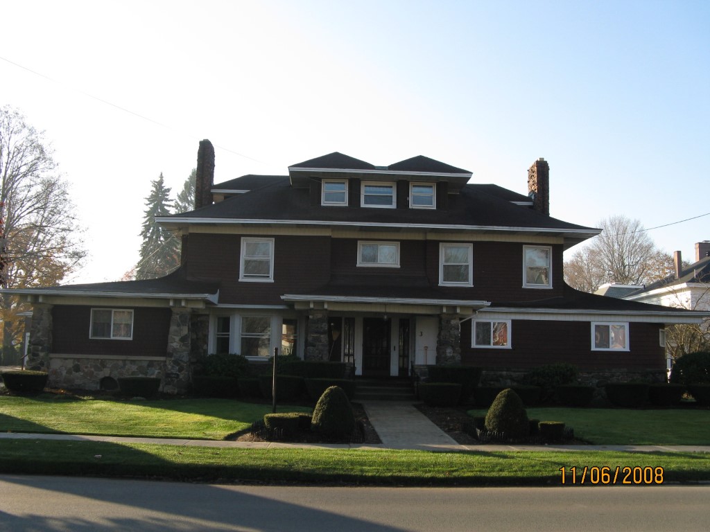
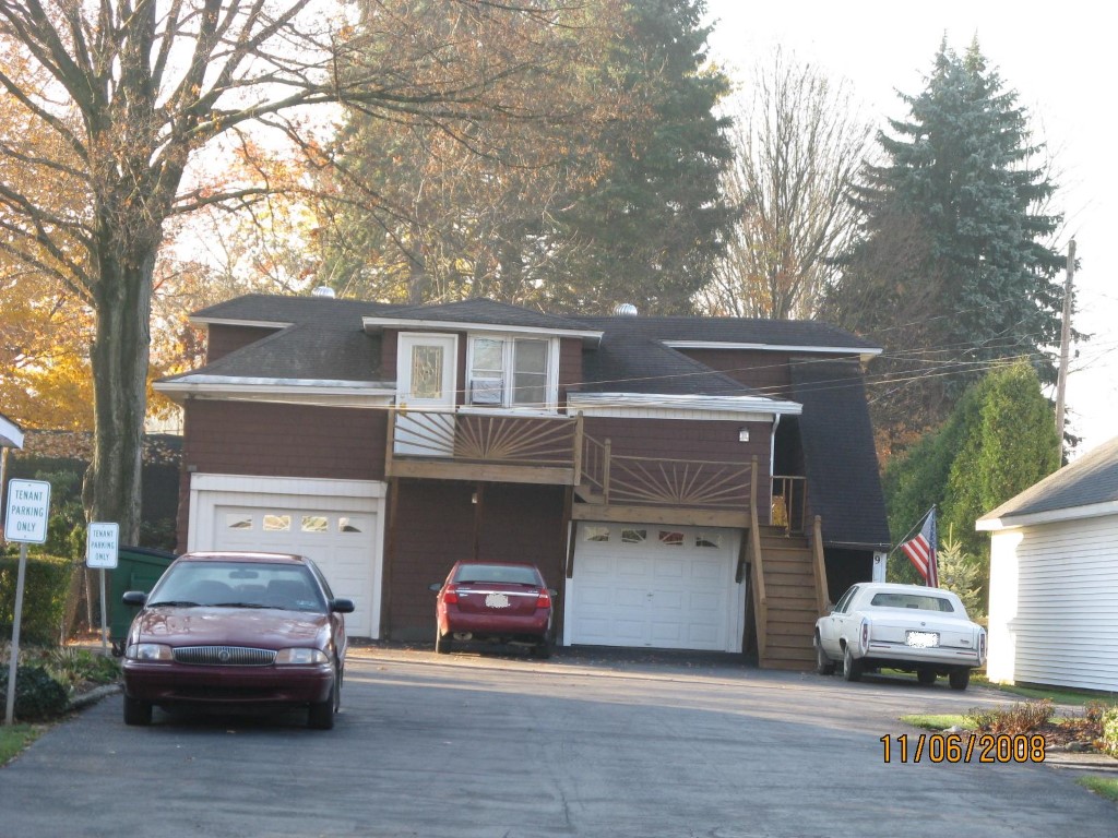
Address: 30 W HIGH ST
Parcel: 42007024000200
Parcel Profile
Address
30 | W | HIGH | ST
Street Status
PAVED | SIDEWALK
School District
UNION CITY AREA SCHOOL
Acreage
0.3974
Classification
A
Land Use Code
APARTMENTS 4 - 19 UNITS
Legal Description
30 W HIGH ST 143.38X170 IRR.
Square Feet
7836
Topo
LEVEL
Utility
ALL PUBLIC
Zoning
Please contact your municipal zoning officer
Deed Book
2013
Deed Page
032727
2026 Tax Values
Land Value / Taxable
17,300 / 17,300.00
Building Value / Taxable
108,600 / 108,600.00
Total Value / Taxable
125,900 / 125,900.00
Clean & Green
Inactive
Homestead Status
Inactive
Farmstead Status
Inactive
Lerta Amount
0
Lerta Expiration Year
0
Commercial Data
Card 1
MIXED RESIDENTIAL/COMMERCIAL
Business Living Area - 7004
Year Built - 1900
Improvement Name - APARTMENTS
Value - 90140
Card 2
MIXED RESIDENTIAL/COMMERCIAL
Business Living Area - 832
Year Built - 1900
Improvement Name - APARTMENTS
Value - 18470
Other Buildings & Yards
No OBY Data Found
Sales History
Sale Date
Type
Price
Book / Page
Other Info
12/20/2013
LAND & BUILDING
225000
2013 / 032727
SPECIAL WARRANTY DEED
3/30/1977
0
1257 / 0450
Parcel Sketches
Commercial Card 1
A
MAIN
2882 square feet
B
MAIN
2922 square feet
C
MAIN
1200 square feet
Commercial Card 2
A
MAIN
832 square feet
B
MAIN
832 square feet
Parcel Images
Please note:
this tab is for informational purposes only and may not show all delinquencies, see the Taxes tab for more accurate delinquent taxes due.