Elected Officials
Courts
Departments
Initiatives
Open Government
About
Login / Register
Home
/
Property & Tax Records
/
Property Records
/
Property & Tax Search
/
Parcel Profile
/
Print View
Search for Another Parcel
Parcel Profile
Historical Card
Sketches
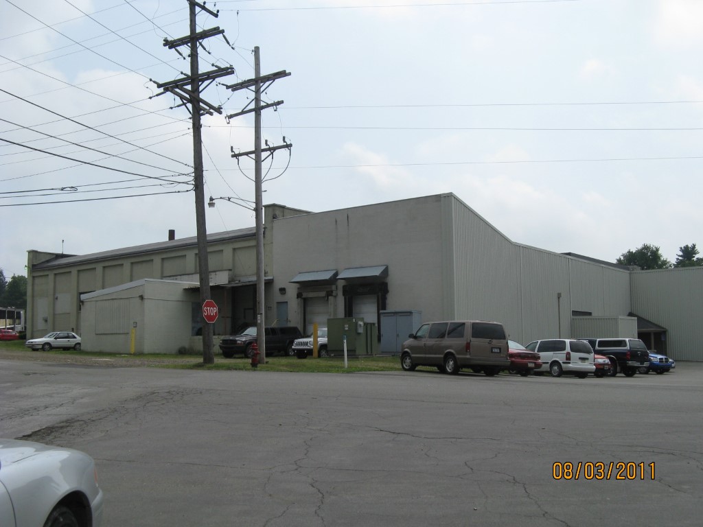
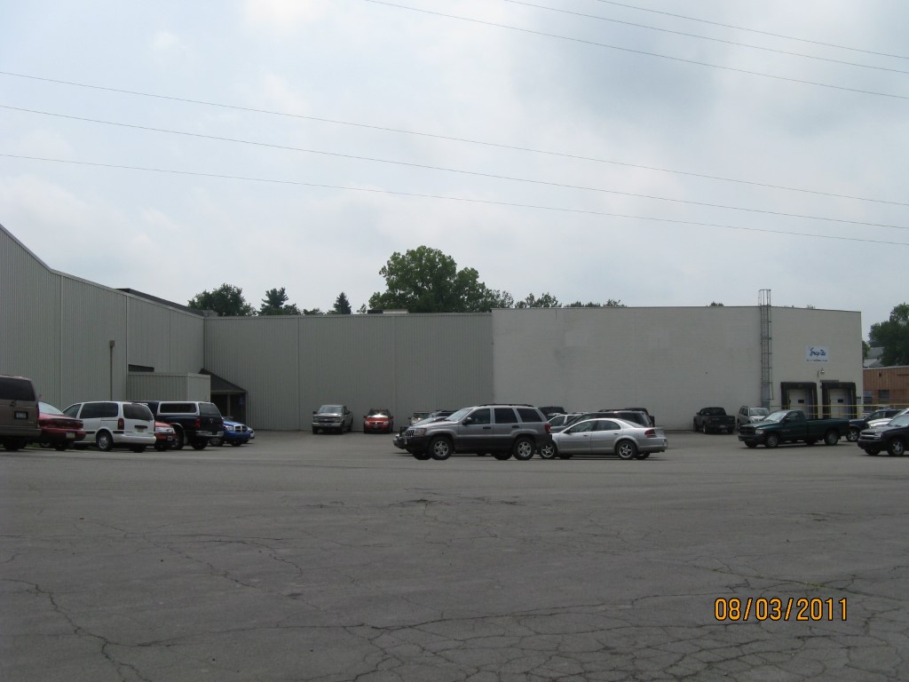
Photos
Tax Map
Taxes
Print View
Print This Page
Address: 77 S MAIN ST
Parcel: 42009032001700
Parcel Profile
Address
77 | S | MAIN | ST
Street Status
SIDEWALK
School District
UNION CITY AREA SCHOOL
Acreage
2.7000
Classification
I
Land Use Code
LIGHT INDUSTRIAL
Legal Description
77 S MAIN ST 2.7 AC
Square Feet
74450
Topo
LEVEL
Utility
ALL PUBLIC
Zoning
Please contact your municipal zoning officer
Deed Book
2010
Deed Page
030198
2026 Tax Values
Land Value / Taxable
37,800 / 37,800.00
Building Value / Taxable
495,200 / 495,200.00
Total Value / Taxable
533,000 / 533,000.00
Clean & Green
Inactive
Homestead Status
Inactive
Farmstead Status
Inactive
Lerta Amount
0
Lerta Expiration Year
0
Commercial Data
Card 1
MFG/PROCESSING
Business Living Area - 74450
Year Built - 1920
Improvement Name - SNAP TITE
Value - 761860
Other Buildings & Yards
No OBY Data Found
Sales History
Sale Date
Type
Price
Book / Page
Other Info
10/30/2020
0
2020 / 023074
12/2/2010
LAND & BUILDING
750000
2010 / 030198
QUIT CLAIM DEED
12/19/2005
LAND & BUILDING
545000
1295 / 0227
QUIT CLAIM DEED
11/18/1967
0
0972 / 0477
Parcel Sketches
Commercial Card 1
A
MAIN
20688 square feet
B
MAIN
20688 square feet
C
MAIN
1560 square feet
D
MAIN
1174 square feet
E
MAIN
6072 square feet
F
MAIN
6072 square feet
G
MAIN
540 square feet
H
MAIN
17000 square feet
I
MAIN
656 square feet
Parcel Images
Please note:
this tab is for informational purposes only and may not show all delinquencies, see the Taxes tab for more accurate delinquent taxes due.