Elected Officials
Courts
Departments
Initiatives
Open Government
About
Login / Register
Home
/
Property & Tax Records
/
Property Records
/
Property & Tax Search
/
Parcel Profile
/
Print View
Search for Another Parcel
Parcel Profile
Historical Card
Sketches
Photos
Tax Map
Taxes
Print View
Print This Page
Address: 15811 WATTSBURG & UNION RD
Parcel: 43003010004301
Parcel Profile
Address
15811 | WATTSBURG & UNION | RD
Street Status
UNPAVED
School District
UNION CITY AREA SCHOOL
Acreage
2.9580
Classification
R
Land Use Code
SINGLE FAMILY
Legal Description
15811 WATTSBURG & UNION RD LOT 2 2.958 AC NET | 3.163 AC GROSS
Square Feet
1304
Topo
LEVEL
Utility
WELL | SEPTIC | GAS
Zoning
Please contact your municipal zoning officer
Deed Book
1360
Deed Page
570
2026 Tax Values
Land Value / Taxable
21,500 / 21,500.00
Building Value / Taxable
156,700 / 156,700.00
Total Value / Taxable
178,200 / 178,200.00
Clean & Green
Inactive
Homestead Status
Inactive
Farmstead Status
Inactive
Lerta Amount
0
Lerta Expiration Year
0
Residential Data
Card 1
Style
RANCH
Basement
FULL
Year Built
2016
Exterior Wall
ALUMINUM/VINYL
Total Living Area
1304
Full Baths
2
Half Baths
0
Fuel Type
PROPANE
Heating
CENTRAL A/C
Heating System
FORCED AIR
Stories
1.0
Total Bedrooms
3
Total Family Rooms
0
Total Rooms
7
Fireplaces
1
Other Buildings & Yards
Description
Built
Width
Length
Area
FOUR SIDE CLOSED MTL POLE BLDG
2011
30
50
1500
Sales History
Sale Date
Type
Price
Book / Page
Other Info
9/8/2006
LAND & BUILDING
0
1360 / 570
QUIT CLAIM DEED
3/14/1991
0
0152 / 1803
3/14/1991
0
0152 / 1803
Parcel Sketches
Residential Card 1
A
MAIN
1304 square feet
B
FR GR FRAME GARAGE
440 square feet
C
OMP OPEN MASONRY PORCH
96 square feet
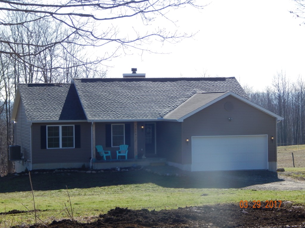
Parcel Images
Please note:
this tab is for informational purposes only and may not show all delinquencies, see the Taxes tab for more accurate delinquent taxes due.